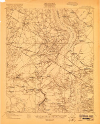
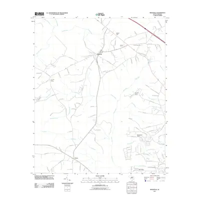
1919 Map of Ridgeville
USGS Topo · Published 1919About this map
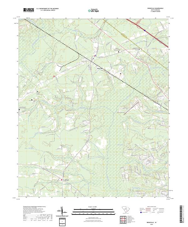
The Edisto River and Ashley River systems define the low-country landscape of this 1919 survey, where the Southern and Atlantic Coast Line railroads intersect at the heart of Dorchester County. The map provides a detailed view of the rural South Carolina interior just after the First World War, highlighting significant social landmarks like the Cypress Camp Meeting Grounds and numerous small-town schools including Mudville School and Rehobath School. Settlements like Ridgeville and Harleyville appear as central rail hubs, while the surrounding wetlands, notably Four Hole Swamp and Cypress Swamp, are punctuated by family-named crossings such as Harley Bridge and Givans Bridge. This document is particularly valuable for its density of rural institutions, recording the locations of various houses of worship like Limestone Church and Two Run Church that served as the anchors for local communities before the expansion of modern highway networks.
Find a feature on this map
71 named features on this map. Tap any name to fly to it.
Don’t see what you’re looking for? This feature index may not catch every label — zoom into the map to look around manually.
Map Details
Editions of this 1919 Ridgeville Map
This is the sole edition of this map. No revisions or reprints were ever made.
Historical Maps of Ridgeville Through Time
9 maps found
1919 Ridgeville
Dorchester County, SC
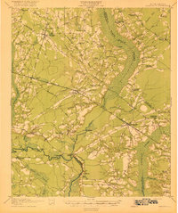
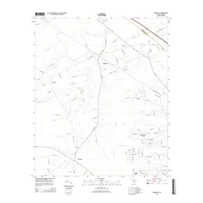
1920 Ridgeville
Dorchester County, SC
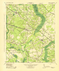
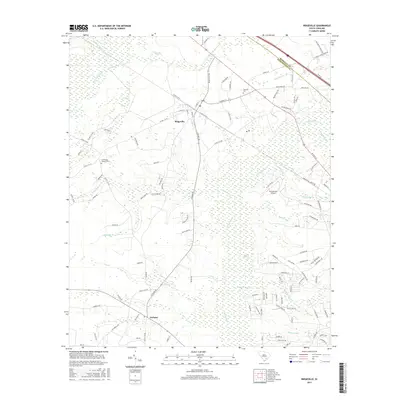
1943 Ridgeville
Dorchester County, SC
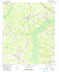
1979 Ridgeville
Dorchester County, SC
2011 Ridgeville
Dorchester County, SC
2014 Ridgeville
Dorchester County, SC
2017 Ridgeville
Dorchester County, SC
2020 Ridgeville
Dorchester County, SC
2024 Ridgeville
Dorchester County, SC