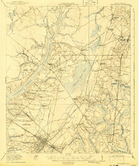
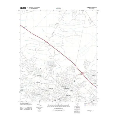
1920 Map of Summerville
USGS Topo · Published 1941About this map
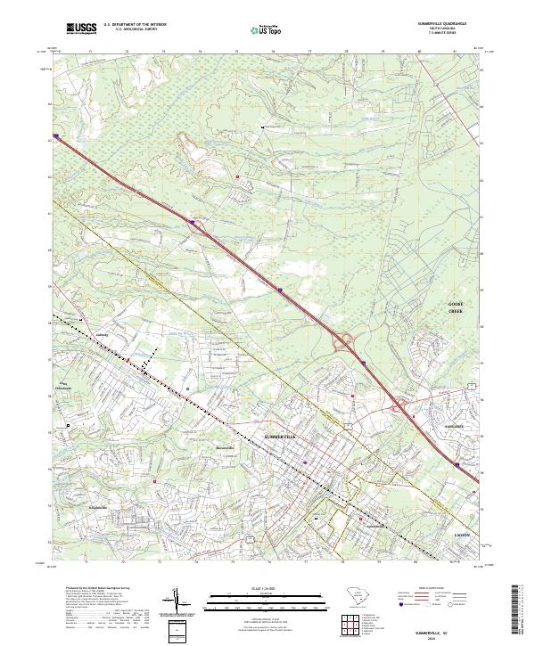
Summerville serves as the primary hub of this Lowcountry landscape, situated at the junction of several critical transportation routes, including the Southern RR. The area is defined by its extensive wetlands, notably the vast Wassamassaw Swamp and Cypress Swamp, which dominate the central and western sections of the terrain. These natural features shaped the early economy and settlement patterns, seen in the network of secondary routes like the Lumber Road and various tramroads that snake through the timber-rich bottomlands.
Find a feature on this map
65 named features on this map. Tap any name to fly to it.
Don’t see what you’re looking for? This feature index may not catch every label — zoom into the map to look around manually.
Map Details
Editions of this 1920 Summerville Map
3 editions found

Historical Maps of Summerville Through Time
9 maps found

1919 Summerville
Dorchester County, SC
1920 Summerville
Dorchester County, SC
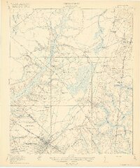
1944 Summerville
Dorchester County, SC
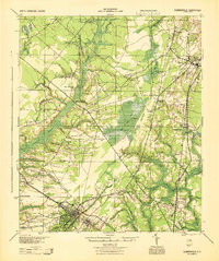
1958 Summerville
Dorchester County, SC
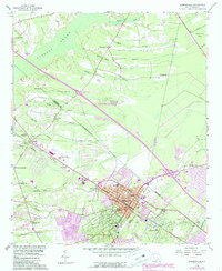
2011 Summerville
Dorchester County, SC
2014 Summerville
Dorchester County, SC
2017 Summerville
Dorchester County, SC
2020 Summerville
Dorchester County, SC
2024 Summerville
Dorchester County, SC