Old Maps of Santee, South Carolina
Explore 26 old maps of Santee, spanning from 1920 to today. These high-resolution historic maps reveal how streets, neighborhoods, landmarks, and natural features evolved over time — perfect for genealogy, metal detecting, research, and local history exploration.
What you can do with these maps:
- See how Santee changed over time: Compare historical maps to modern-day views to trace roads, homesites, rail lines & more.
- View detailed metadata: Each map includes creators, publishers, year, scale, and archive source.
- Overlay maps with satellite & LiDAR: Visualize the past alongside modern tools to explore terrain & human change.
- Trusted historical sources: Maps sourced from the USGS, Library of Congress, and other archives.
- Access maps your way: View online, download high-res files, or order prints for personal or research use.
Start exploring old maps of Santee to uncover forgotten places, hidden landmarks, and the deep history beneath your feet.
Santee, SC maps
(26)- 1920 Map of Eutawville
 1920 Eutawville1920 Print · USGSCoastal South Carolina comes to life in the years following the Great War, showing a landscape defined by the Santee River and Four Hole Swamp. Genealogists can trace family roots through numerous local landmarks like Black Creek Church, Unity School, and the settlement at Holly Hill.
 - 1920 Map of Bowman
 1920 Bowman1920 Print · USGSIn the early twentieth century, this part of the South Carolina Lowcountry was a landscape of remote settlements and small-scale industry. Genealogists can trace family footprints through numerous community landmarks like Boghette Cem, Livingston Mill, and the Shady Grove Camp Ground.
 - 1921 Map of Bowman
 1921 Bowman1921 Print · USGSIn the early 1920s, the rural community of Bowman was a bustling intersection of country schools and swamp-fed drainage. Genealogists can trace family footprints through dozens of landmarks like Rochette Cemetery, the Campmeeting Grounds, and Livingston Mill.4 unique versions available
 - 1921 Map of Eutawville
 1921 Eutawville1921 Print · USGSCoastal South Carolina comes to life in this early twentieth-century survey of the Santee River lowlands and the growing railroad towns of the coastal plain. Genealogists can trace the location of community anchors like Gerizim Church, the Eutaw Springs Battle Monument, and Nelsons Ferry.3 unique versions available
 - 1943 Map of Bowman
 1943 Bowman1943 Print · USGSThe rural Lowcountry of the 1940s is captured here in detail, showcasing the agrarian life of Orangeburg County. Genealogists can trace family footprints through numerous local landmarks like Bochette Cem, Dawkins Chapel, and Stephens Sch.
 - 1943 Map of Orangeburg
 1943 Orangeburg1943 Print · USGSCoastal plain settlements and river forks define the South Carolina lowcountry during the early war years. Genealogists can trace family landmarks like Bochette Cem, Hunters Chapel Zion Ch, and unique sites like the Indian Field Camp Grounds.
 - 1943 Map of Eutawville, 1944 Print
 1943 Eutawville1944 Print · USGSCoastal South Carolina during the mid-forties shows a landscape of historic battlefields and newly formed reservoirs. Genealogists and historians can trace family church and school sites like Gerizim Ch and Stutz Sch or locate the Eutaw Battle Monument.
 - 1954 Map of Augusta
 1954 Augusta1954 Print · USGSThe Savannah River valley and South Carolina Midlands are captured here during a period of post-war growth. Researchers can trace the rail-and-river economy through the Southern RR corridor and locate historic settlements like Aiken, Orangeburg, and Sumter.
 - 1957 Map of Augusta, 1966 Print
 1957 Augusta1966 Print · USGSThe Savannah River and Santee basins are captured here during a period of massive military and industrial expansion in the late fifties. Genealogists can trace family footprints across Four Hole Swamp or near the Savannah River Plant.3 unique versions available
 - 1958 Map of Augusta
 1958 Augusta1958 Print · USGSThe borderlands between Georgia and South Carolina come alive in the 1950s, showing the early footprint of the Savannah River Plant. Genealogists and historians can trace rail-dependent towns and rural landmarks from Orangeburg to the Fort Jackson Military Reservation.
 - 1961 Map of Augusta
 1961 Augusta1961 Print · USGSThe South Carolina lowcountry and CSRA appear here in the early sixties, during a period of massive military and industrial growth. Researchers can trace the development of the Savannah River Plant or locate legacy landmarks like Nelson Ferry and Magnolia Cemetery.2 unique versions available
 - 1962 Map of Augusta
 1962 Augusta1962 Print · USGSThe South Carolina and Georgia borderlands are seen here in the early sixties, showing the rise of the Savannah River Plant and the expansion of Fort Jackson. Researchers can trace old rail lines like the Southern Railway and find landmarks such as St. Pauls Church or the Santee Canal.
 - 1979 Map of Vance, 1980 Print
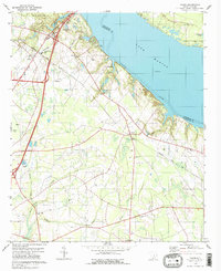 1979 Vance1980 Print · USGSThe Orangeburg County lakefront and rural interior are captured here in the late seventies. Family historians can locate family-named landmarks like Dantzler-Hart Cem and country steeples such as Mt Pisgah Ch and Liberty Hill Ch.2 unique versions available
 - 1982 Map of Felderville, 1983 Print
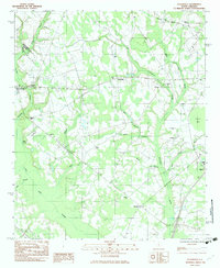 1982 Felderville1983 Print · USGSOrangeburg and Calhoun counties in the early eighties are mapped here as a network of rural settlements and extensive wetlands. Researchers can trace family history through local landmarks like Dantzler Sch, Bochette Cem, and the crossroads at Felderville.
 - 1985 Map of Saint George, 1986 Print
 1985 Saint George1986 Print · USGSThe South Carolina Lowcountry in the mid-eighties shows a landscape defined by the great reservoirs and the meandering Edisto River. Researchers can trace the rail corridors of the Southern Railway and find rural settlements like Harleyville, Smoaks, and Grover.
 - 1990 Map of Saint George
 1990 Saint George1990 Print · USGSThe South Carolina Lowcountry in the early nineties reveals a complex network of river systems and massive reservoirs. Genealogists and local historians can trace the development of inland settlements like St George and Branchville or explore the wetlands of Four Hole Swamp.
 - 2011 Map of Felderville, 2011 Print
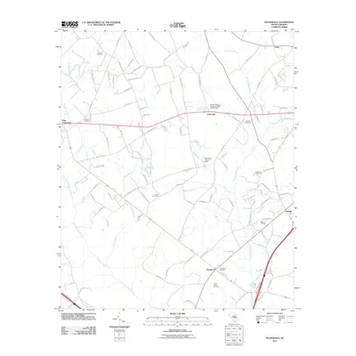 2011 Felderville2011 Print · USGSOrangeburg County at the start of the 2010s is a landscape of rural junctions and extensive wetlands. Genealogists can trace family names through numerous burial sites like Gresham Cemetery, Martin Cemetery, and the Island Cemeteries near Felderville.
 - 2011 Map of Vance, 2011 Print
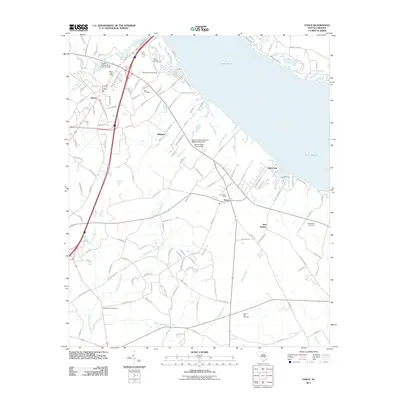 2011 Vance2011 Print · USGSCoastal plain settlements and the sprawling waters of Lake Marion define this region in the early twenty-first century. Researchers can trace the layout of Santee and Vance or locate family history sites at Dantzler-Hart Cemetery and Springfield Cemetery.
 - 2014 Map of Vance, 2014 Print
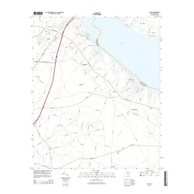 2014 Vance2014 Print · USGSOrangeburg County, South Carolina, is shown here in the early 2010s as it borders the southern reaches of Lake Marion. Genealogists and local historians can trace family roots through numerous local burial grounds such as Bell Cem, Springfield Cem, and the Corinth Baptist Church Cem.
 - 2014 Map of Felderville, 2014 Print
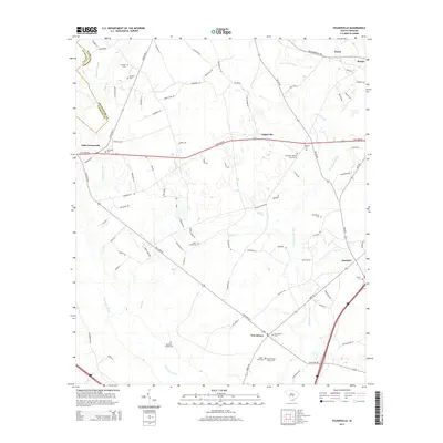 2014 Felderville2014 Print · USGSOrangeburg County's low-country landscape is meticulously detailed here in the early 21st century, showing the intersection of historic swamp drainage and rural road networks. Researchers can locate numerous family-named burial sites including Bochette Cem, Martin Cem, and the Island Cemeteries.
 - 2017 Map of Vance, 2017 Print
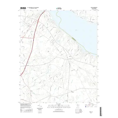 2017 Vance2017 Print · USGSThe Orangeburg County shoreline near Santee and Vance is captured here during the late twenty-teens, showing the intersection of lake life and low-country wetlands. Researchers can locate family landmarks such as Liberty Hill Cem, Dantzler - Hart Cem, and Corinth Baptist Church.
 - 2017 Map of Felderville, 2017 Print
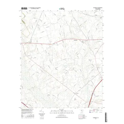 2017 Felderville2017 Print · USGSThe Orangeburg County wetlands and small rural settlements come to life in this recent study of the Carolina coastal plain. Family historians can locate numerous burial grounds including the Island Cemeteries, Bochette Cem, and Providence Cem.
 - 2020 Map of Felderville, 2020 Print
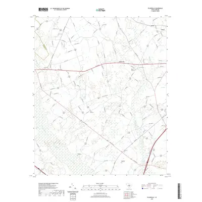 2020 Felderville2020 Print · USGSOrangeburg County's rural landscape is captured here in the contemporary era, showing a region defined by family homesteads and expansive wetlands. Genealogists can trace local roots at Island Cemeteries, Murcheys Landing Cem, and the historic Oak Grove Baptist Church Cem.
 - 2020 Map of Vance, 2020 Print
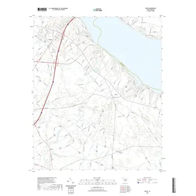 2020 Vance2020 Print · USGSOrangeburg County's shoreline along Lake Marion is captured here during the twenty-first century, showcasing the area's mix of wetland terrain and growing communities. Genealogists can locate several historic burial sites like Liberty Hill Cem and Corinth Baptist Church Cem among the surrounding swamps.
 - 2024 Map of Vance, 2024 Print
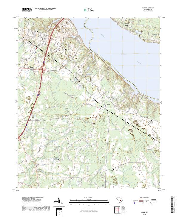 2024 Vance2024 Print · USGSOrangeburg County's shoreline along the Santee River is captured here in the contemporary era, showing a landscape defined by water and family history. Researchers can locate numerous heritage sites like Avinger Family Cem and Rock Hill Church near the edges of Horse Range Swamp.
Showing maps 1-25 of 26
Top cities near Santee
- Holly Hill historical maps
- Bowman historical maps
- Summerton historical maps
- Elloree historical maps
- Cameron historical maps
- Eutawville historical maps
See more
Frequently asked questions
- What are the different types of historical maps available for Santee?
- What is the oldest map of Santee?
- Where can I purchase historical maps of Santee for my home or office?
- Where can I download high-res historical maps of Santee?
- Are there historical topographic maps available for Santee?
- Is there historical aerial imagery available for Santee?
- Where are historical maps of Santee sourced from?