
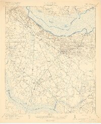
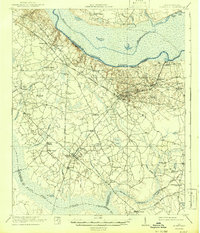
1921 Map of Eutawville
USGS Topo · Published 1921About this map
The Eutaw Springs Battle Monument stands near the south bank of the Santee River, marking a landscape defined by colonial-era roads and early 20th-century agriculture. This survey captures a region anchored by Eutawville and Holly Hill, where the Atlantic Coast Line railroad dictates the flow of commerce through the Lowcountry. The map reveals an intricate network of rural institutions, including Gerizim Church, Bethlehem Church, and the Camden Road School. To the south, the dense wetlands of Four Hole Swamp and Toney Bay contrast with the cultivated uplands along the Gaillard Road. The prevalence of landings like Nelsons Ferry suggests the historical reliance on river crossings before modern bridge infrastructure dominated the Santee basin. Researchers will find a high density of named family landmarks and small community centers like Ferguson, Milligans, and Connors.
Find a feature on this map
61 named features on this map. Tap any name to fly to it.
Don’t see what you’re looking for? This feature index may not catch every label — zoom into the map to look around manually.
Map Details
Editions of this 1921 Eutawville Map
3 editions found
Other maps of this area

1919 · Summerville
USGS Topo · 1:48,000

1919 · Ridgeville
USGS Topo · 1:48,000

1920 · Eutawville
USGS Topo · 1:48,000

1920 · Chicora
USGS Topo · 1:48,000

1920 · Bowman
USGS Topo · 1:48,000

1920 · Manning
USGS Topo · 1:48,000

1920 · Ridgeville
USGS Topo · 1:62,500

1920 · St. George
USGS Topo · 1:48,000

1920 · Summerville
USGS Topo · 1:62,500

1921 · Chicora
USGS Topo · 1:62,500