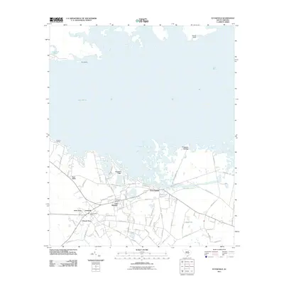
1979 Map of Eutawville
USGS Topo · Published 1979About this map
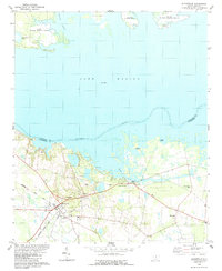
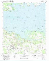
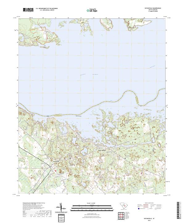
Lake Marion and the Santee River dominate this Lowcountry landscape in the late 1970s, where the waters of the Santee-Cooper system meet the agricultural and rail-oriented town of Eutawville. The map illustrates a community anchored by numerous rural churches and cemeteries, such as Tabernacle Ch and the Walnut Grove Cem, reflecting the area's deep-rooted settlement patterns. A Historical Marker near Eutaw Creek notes the site's local significance, likely relating to its colonial and Revolutionary history. Transport and industry are evident through the Seaboard Coast Line railroad and several claypits located near the town center. To the north, the Santee National Wildlife Refuge encompasses islands like Goat Island and Pine Island, highlighting the conservation of the river basin's natural environment.
Find a feature on this map
29 named features on this map. Tap any name to fly to it.
Don’t see what you’re looking for? This feature index may not catch every label — zoom into the map to look around manually.
Map Details
Editions of this 1979 Eutawville Map
2 editions found
Historical Maps of Eutawville Through Time
9 maps found

1920 Eutawville
Orangeburg County, SC
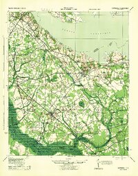
1921 Eutawville
Orangeburg County, SC
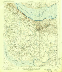
1943 Eutawville
Orangeburg County, SC
1979 Eutawville
Orangeburg County, SC
2011 Eutawville
Orangeburg County, SC
2014 Eutawville
Orangeburg County, SC
2017 Eutawville
Orangeburg County, SC
2020 Eutawville
Orangeburg County, SC
2024 Eutawville
Orangeburg County, SC