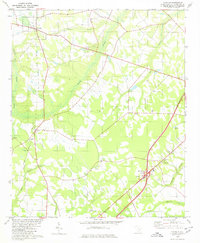
1979 Map of Paxville
USGS Topo · Published 1980About this map
Paxville and the agricultural lands of Clarendon County are defined by a network of drainage branches and low-lying swamps during the late 1970s. The landscape is interconnected by an Old Railroad Grade that runs through Paxville toward Silver, marking the path of former transit lines through this coastal plain region. The distribution of spiritual and community centers is notably dense, with rural congregations such as Home Branch Ch, Mt Zero Ch, and St Johns Ch serving as primary landmarks across the countryside.
Find a feature on this map
28 named features on this map. Tap any name to fly to it.
Don’t see what you’re looking for? This feature index may not catch every label — zoom into the map to look around manually.
Map Details
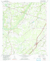
Editions of this 1979 Paxville Map
2 editions found
Other maps of this area

1920 · Mayesville
USGS Topo · 1:48,000

1920 · Manning
USGS Topo · 1:48,000

1921 · Manning
USGS Topo · 1:62,500

1921 · Mayesville
USGS Topo · 1:62,500

1943 · Mayesville
USGS Topo · 1:62,500

1944 · Manning
USGS Topo · 1:62,500

1946 · Sumter
USGS Topo · 1:62,500

1954 · Augusta
USGS Topo · 1:250,000

1957 · Sumter
USGS Topo · 1:62,500

1957 · Augusta
USGS Topo · 1:250,000