
Loading...
Loading map...1954 Map of Augusta
USGS Topo · Published 1954About this map
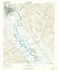
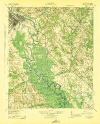
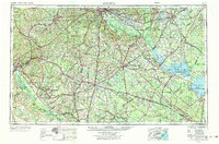
The Savannah River serves as the dividing line between Georgia and South Carolina on this mid-century survey, anchoring a landscape defined by its river basins and expanding road networks. The urban centers of Augusta and Columbia appear as major hubs, with the latter flanked by the expansive Fort Jackson Military Reservation. The transition from the Piedmont Plateau to the Sand Hills is visible through the drainage patterns of the Edisto River and its forks.
Find a feature on this map
178 named features on this map. Tap any name to fly to it.
Don’t see what you’re looking for? This feature index may not catch every label — zoom into the map to look around manually.
Map Details
Date Portrayed1954
Date Published1954
PublisherU.S. Geological Survey
Map TypeTopographic
Scale1:250,000
Physical Dimensions34.1 x 24.1 inches
Editions of this 1954 Augusta Map
This is the sole edition of this map. No revisions or reprints were ever made.
Historical Maps of Augusta Through Time
7 maps found


Featured Locations
Source Details
SourceU.S. Geological Survey
CopyrightPublic Domain