Loading...
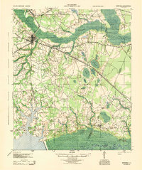
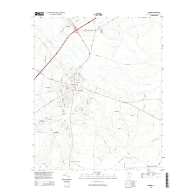
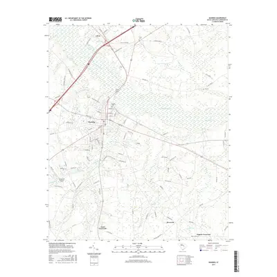
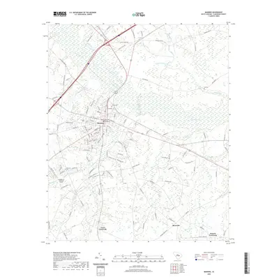
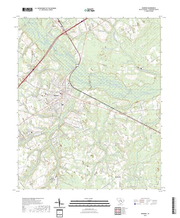
Loading map...1944 Map of Manning
USGS Topo · Published 1944About this map
Manning serves as the central hub of this 1944 survey, where the Atlantic Coast Line railroad intersects with a network of rural roads including the Kingstree Road and Summerton Road. The landscape is defined by the significant wetlands of the Pocotaligo Swamp and the Santee River corridor to the south, which historically dictated the placement of settlements and agricultural land.
Find a feature on this map
58 named features on this map. Tap any name to fly to it.
Don’t see what you’re looking for? This feature index may not catch every label — zoom into the map to look around manually.
Map Details
Date Portrayed1944
Date Published1944
PublisherU.S. Geological Survey
Map TypeTopographic
Scale1:62,500
Physical Dimensions17.6 x 21.1 inches
Editions of this 1944 Manning Map
This is the sole edition of this map. No revisions or reprints were ever made.
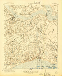
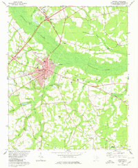
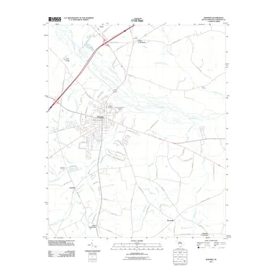
Historical Maps of Manning Through Time
9 maps found

Featured Locations
Source Details
SourceU.S. Geological Survey
CopyrightPublic Domain