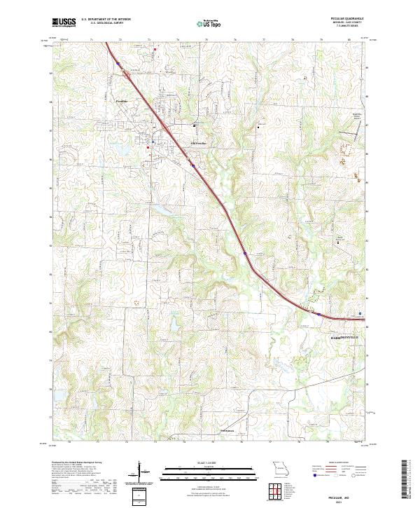
2021 Map of Peculiar
USGS Topo · Published 2021About this map
The city of Peculiar and the original site at Old Peculiar anchor this survey of Cass County, which tracks the northward expansion of Harrisonville along the interstate corridor. The landscape is defined by the headwaters and branches of the South Grand River, including Wolf Creek and the East Branch South Grand River, which feed local water bodies like the Peculiar City Reservoir and Baiers Den Lake. This transition from rural agriculture to residential development is clearly visible in the dense grid of county roads and streets like Peculiar Way and South Old Town Drive. For those tracing local families, the map preserves the locations of several historic burial grounds, including the Peculiar Cemetery, Wills Cemetery, and the Brown Family Cemetery located near the East Fork.
Find a feature on this map
116 named features on this map. Tap any name to fly to it.
Don’t see what you’re looking for? This feature index may not catch every label — zoom into the map to look around manually.
Map Details
Editions of this 2021 Peculiar Map
This is the sole edition of this map. No revisions or reprints were ever made.