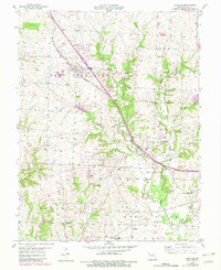
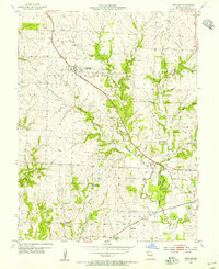
1954 Map of Peculiar
USGS Topo · Published 1982About this map
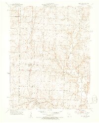
Peculiar and Old Peculiar serve as the primary hubs in this mid-century portrait of Cass County, which highlights the intersection of agrarian life and modern infrastructure. The Burlington Northern railroad cuts a diagonal path through the township of West Peculiar, paralleling the waters of the East Branch South Grand River. This region is defined by a dense network of local education and memorial sites, including the Rodman Sch, Brush College Sch, and Peculiar Cem. The landscape transitions from the developed settlement at Prettyman to the rural expanses of Dolan and Grand River townships. Mapping of multiple quarries and a prominent pipeline reflects the industrial activity supporting the area's growth during this era of photogrammetric survey and field checking.
Find a feature on this map
24 named features on this map. Tap any name to fly to it.
Don’t see what you’re looking for? This feature index may not catch every label — zoom into the map to look around manually.
Map Details
Editions of this 1954 Peculiar Map
2 editions found
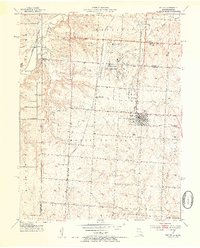
Other maps of this area

1887 · Harrisonville
USGS Topo · 1:125,000

1887 · Olathe
USGS Topo · 1:125,000

1892 · Harrisonville
USGS Topo · 1:125,000

1893 · Olathe
USGS Topo · 1:125,000

1894 · Harrisonville
USGS Topo · 1:125,000

1947 · Lawrence
USGS Topo · 1:250,000

1950 · Lawrence
USGS Topo · 1:250,000
1953 · Belton
USGS Topo · 1:24,000
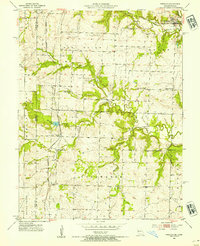
1953 · Freeman
USGS Topo · 1:24,000
1953 · West Line
USGS Topo · 1:24,000