
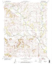
1953 Map of West Line
USGS Topo · Published 1954About this map
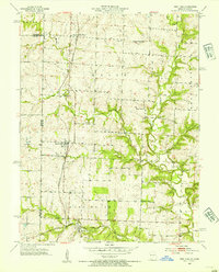
The Kansas City Southern railroad serves as the primary North-South artery through this border region, connecting the rural communities of Cleveland and West Line. Surveyed in the early 1950s, the landscape is defined by the transition from the rolling uplands of Union and West Dolan townships down toward the meanders of the South Fork Grand River. The map reveals a dense network of civic and religious institutions that anchored these small Missouri communities, including the West Union Ch and several one-room schoolhouses like the Pleasant Prairie Sch. Family history is preserved through numerous small burial grounds, such as Frazee Cem and Glenwild Cem, which are scattered throughout the agricultural sections. The drainage patterns of Massey Creek and Poney Creek further illustrate the terrain that shaped the early settlement and road development along the Kansas-Missouri state line.
Find a feature on this map
23 named features on this map. Tap any name to fly to it.
Don’t see what you’re looking for? This feature index may not catch every label — zoom into the map to look around manually.
Map Details
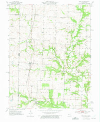
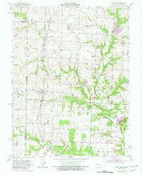
Editions of this 1953 West Line Map
4 editions found
Other maps of this area

1887 · Harrisonville
USGS Topo · 1:125,000

1887 · Olathe
USGS Topo · 1:125,000

1892 · Harrisonville
USGS Topo · 1:125,000

1893 · Olathe
USGS Topo · 1:125,000

1894 · Harrisonville
USGS Topo · 1:125,000

1947 · Lawrence
USGS Topo · 1:250,000

1950 · Lawrence
USGS Topo · 1:250,000
1953 · Belton
USGS Topo · 1:24,000

1953 · Freeman
USGS Topo · 1:24,000
1953 · Everett
USGS Topo · 1:24,000