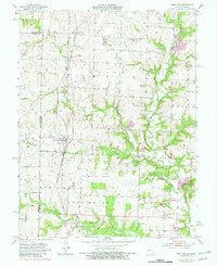
1953 Map of West Line
USGS Topo · Published 1982About this map
The borderlands of Cass County, Missouri, and Miami County, Kansas, are defined here by the north-south corridor of the Kansas City Southern railroad. This transportation spine connects the rural village of Cleveland with the namesake town of West Line to the south. The landscape is characterized by its agricultural roots and early community infrastructure, visible in the distribution of one-room schoolhouses like Pleasant Valley Sch and Pleasant Prairie Sch.
Find a feature on this map
24 named features on this map. Tap any name to fly to it.
Don’t see what you’re looking for? This feature index may not catch every label — zoom into the map to look around manually.
Map Details
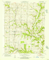
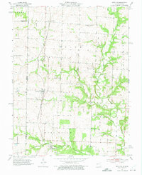
Editions of this 1953 West Line Map
4 editions found
Other maps of this area

1887 · Harrisonville
USGS Topo · 1:125,000

1887 · Olathe
USGS Topo · 1:125,000

1892 · Harrisonville
USGS Topo · 1:125,000

1893 · Olathe
USGS Topo · 1:125,000

1894 · Harrisonville
USGS Topo · 1:125,000

1947 · Lawrence
USGS Topo · 1:250,000

1950 · Lawrence
USGS Topo · 1:250,000
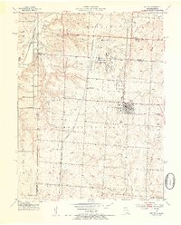
1953 · Belton
USGS Topo · 1:24,000

1953 · Freeman
USGS Topo · 1:24,000

1953 · West Line
USGS Topo · 1:24,000