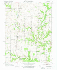
1953 Map of West Line
USGS Topo · Published 1975About this map
Cleveland and West Line anchor this 1953 landscape in Cass County, where the border between Missouri and Kansas is defined by a grid of rural homesteads and vital rail corridors. The Kansas City Southern railroad runs north-south through the center of the sheet, while the Missouri Kansas Texas line cuts through the southern section near the settlement of West Line. The map provides a detailed look at the local social infrastructure of the mid-20th century, documenting small rural centers such as Pleasant Valley School and Pleasant Prairie School. Drainage for the region is managed by several winding waterways, including Massey Creek and the South Grand River. Family history and genealogy are well-represented through the locations of numerous burial grounds like Frazee Cemetery and Corinth Cemetery, alongside community landmarks such as West Union Church.
Find a feature on this map
26 named features on this map. Tap any name to fly to it.
Don’t see what you’re looking for? This feature index may not catch every label — zoom into the map to look around manually.
Map Details
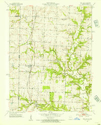
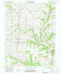
Editions of this 1953 West Line Map
4 editions found
Other maps of this area

1887 · Harrisonville
USGS Topo · 1:125,000

1887 · Olathe
USGS Topo · 1:125,000

1892 · Harrisonville
USGS Topo · 1:125,000

1893 · Olathe
USGS Topo · 1:125,000

1894 · Harrisonville
USGS Topo · 1:125,000

1947 · Lawrence
USGS Topo · 1:250,000

1950 · Lawrence
USGS Topo · 1:250,000
1953 · Belton
USGS Topo · 1:24,000

1953 · Freeman
USGS Topo · 1:24,000

1953 · West Line
USGS Topo · 1:24,000