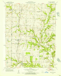
1953 Map of West Line
USGS Topo · Published 1954About this map
Cleveland and West Line anchor this rural landscape along the state border during the mid-1950s. The region is defined by its agricultural layout and a network of country institutions, including Pleasant Valley Sch, Pleasant Prairie Sch, and Brownville Sch. Small community landmarks like West Union Ch and the Frazee Cem are scattered among the rolling terrain of Union and West Dolan townships.
Find a feature on this map
23 named features on this map. Tap any name to fly to it.
Don’t see what you’re looking for? This feature index may not catch every label — zoom into the map to look around manually.
Map Details
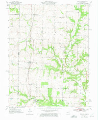
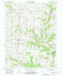
Editions of this 1953 West Line Map
4 editions found
Other maps of this area

1887 · Harrisonville
USGS Topo · 1:125,000

1887 · Olathe
USGS Topo · 1:125,000

1892 · Harrisonville
USGS Topo · 1:125,000

1893 · Olathe
USGS Topo · 1:125,000

1894 · Harrisonville
USGS Topo · 1:125,000

1947 · Lawrence
USGS Topo · 1:250,000

1950 · Lawrence
USGS Topo · 1:250,000
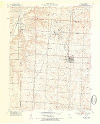
1953 · Belton
USGS Topo · 1:24,000

1953 · Freeman
USGS Topo · 1:24,000

1953 · West Line
USGS Topo · 1:24,000