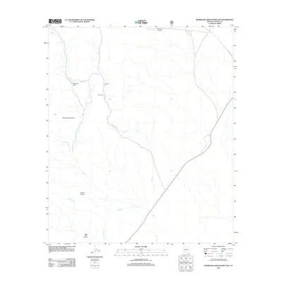
2012 Map of Pedregosa Mountains East
USGS Topo · Published 2012About this map
The Pedregosa Mountains dominate the southwestern landscape of this Cochise County region, where the arid environment is defined by a network of drainage systems like Danger Wash and Buck Cr. In this cattle-ranching territory, the human footprint is centered on localized operations such as the Joe Glenn Ranch and Boss Ranch, situated near the headwaters of the creeks.
Find a feature on this map
16 named features on this map. Tap any name to fly to it.
Don’t see what you’re looking for? This feature index may not catch every label — zoom into the map to look around manually.
Map Details
Editions of this 2012 Pedregosa Mountains East Map
This is the sole edition of this map. No revisions or reprints were ever made.
Other maps of this area

1917 · Chiricahua
USGS Topo · 1:125,000

1919 · Perilla
USGS Topo · 1:125,000

1919 · Chiricahua
USGS Topo · 1:125,000

1922 · McDonald
USGS Topo · 1:62,500

1926 · Pedregosa
USGS Topo · 1:62,500

1940 · Apache
USGS Topo · 1:62,500

1940 · College Peaks
USGS Topo · 1:62,500

1955 · Douglas
USGS Topo · 1:250,000

1958 · Apache
USGS Topo · 1:62,500

1958 · Guadalupe Canyon
USGS Topo · 1:62,500