2022 Map of Pellville
USGS Topo · Published 2022About this map
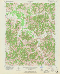
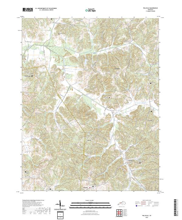
The hills of Hancock and Daviess counties meet along a winding border defined by rural crossroad settlements and small family-named cemeteries. Pellville and Weberstown anchor the southern portion of the map, connected by a network of local routes like Stump Newman Rd and State Hwy 2181. The landscape is characterized by its complex drainage, where Blackford Creek and its many tributaries, including Flat Br-Horse Fork, cut through the terrain. These waterways once dictated the placement of early community centers like Chambers and Goering. Genealogists will find a high concentration of burial sites, from the prominent Union Baptist Church Cem to smaller family plots such as the Hite and Payne Cem and Lamar Cem. This map records the persistent rural character of this Kentucky interior, where old school sites like Lambert Schoolhouse Rd hint at the locations of former community focal points.
Find a feature on this map
80 named features on this map. Tap any name to fly to it.
Don’t see what you’re looking for? This feature index may not catch every label — zoom into the map to look around manually.
Map Details
Editions of this 2022 Pellville Map
This is the sole edition of this map. No revisions or reprints were ever made.