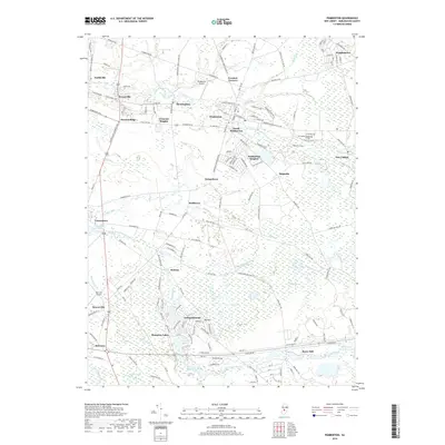
2019 Map of Pemberton
USGS Topo · Published 2019About this map
Pemberton and its surrounding borough developments form a dense residential hub near the North Branch Rancocas Creek in this 2019 survey. The map details a transition from the structured street grids of South Pemberton and Pemberton Heights to the sprawling retirement communities of Leisuretowne and Hampton Lakes further south. Historical settlement patterns remain visible in smaller villages such as Birmingham and Smithville, while the northern edge is defined by the proximity of Wrightstown. The landscape is defined by the intricate hydrology of the Pine Barrens, where Jade Run, Cedar Run, and Burrs Mill Brook wind through low-lying wetlands and around landmarks like Big Hill. Significant aviation and educational infrastructure is also present, including Pemberton Airport and the campus of Burlington County College.
Find a feature on this map
160 named features on this map. Tap any name to fly to it.
Don’t see what you’re looking for? This feature index may not catch every label — zoom into the map to look around manually.
Map Details
Editions of this 2019 Pemberton Map
This is the sole edition of this map. No revisions or reprints were ever made.
Other maps of this area

1888 · Bordentown
USGS Topo · 1:62,500

1888 · Pemberton
USGS Topo · 1:62,500

1888 · Mount Holly
USGS Topo · 1:62,500

1890 · Burlington
USGS Topo · 1:62,500

1893 · Bordentown
USGS Topo · 1:62,500

1893 · Burlington
USGS Topo · 1:62,500

1894 · Pemberton
USGS Topo · 1:62,500

1894 · Mount Holly
USGS Topo · 1:62,500

1898 · Pemberton
USGS Topo · 1:62,500

1898 · Mount Holly
USGS Topo · 1:62,500
Featured Places
- Southampton Township, NJ
- Tabernacle Township, NJ
- Eastampton Township, NJ
- Springfield Township, NJ
- Pemberton, NJ