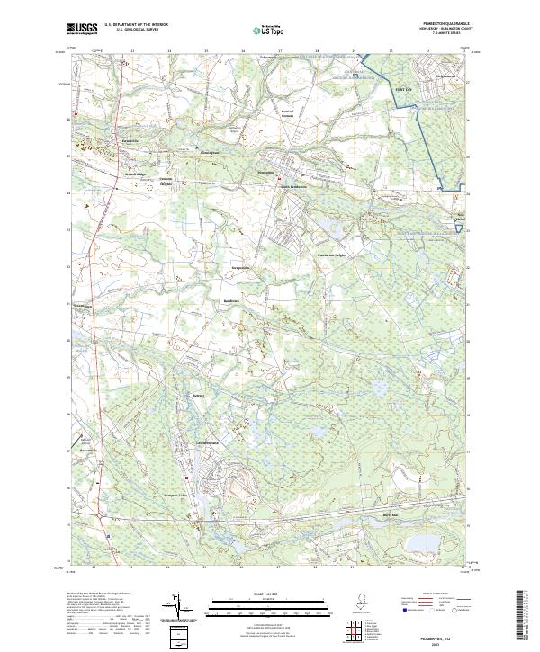
2023 Map of Pemberton
USGS Topo · Published 2023About this map
Pemberton and its surrounding communities are defined by a complex network of wetlands and tributaries feeding into the North Branch Rancocas Creek and South Branch Rancocas Creek. The landscape transitions from the developed corridors of South Pemberton and Pemberton Heights to the vast hydrological systems of the New Jersey Pine Barrens. In the southern portion of the quadrangle, the terrain is shaped by extensive bogs and water bodies such as Gravelly Run Pond, Old Forge Lake, and the Burrs Mill Brook Reservoir, which reflect the region's historic cranberry and blueberry agricultural legacy.
Find a feature on this map
168 named features on this map. Tap any name to fly to it.
Don’t see what you’re looking for? This feature index may not catch every label — zoom into the map to look around manually.
Map Details
Editions of this 2023 Pemberton Map
This is the sole edition of this map. No revisions or reprints were ever made.
Other maps of this area

1888 · Bordentown
USGS Topo · 1:62,500

1888 · Pemberton
USGS Topo · 1:62,500

1888 · Mount Holly
USGS Topo · 1:62,500

1890 · Burlington
USGS Topo · 1:62,500

1893 · Bordentown
USGS Topo · 1:62,500

1893 · Burlington
USGS Topo · 1:62,500

1894 · Pemberton
USGS Topo · 1:62,500

1894 · Mount Holly
USGS Topo · 1:62,500

1898 · Pemberton
USGS Topo · 1:62,500

1898 · Mount Holly
USGS Topo · 1:62,500
Featured Places
- Southampton Township, NJ
- Tabernacle Township, NJ
- Eastampton Township, NJ
- Springfield Township, NJ
- Pemberton, NJ