2024 Map of Pennington
USGS Topo · Published 2024About this map
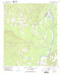
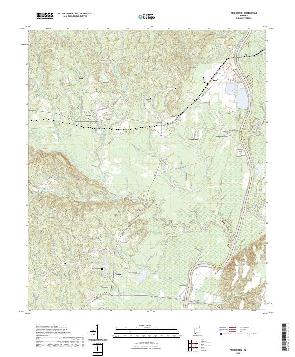
The Tombigbee River marks the eastern boundary of this Choctaw County landscape, winding past prominent river features like Nanafolia Bluff and Murphys Bluff. The Meridian & Bigbee RR cuts across the northern terrain, serving the settlements of Naheola and Pennington, which sits near the junction of several local routes. This river-and-rail corridor supported a network of small communities including Choctaw City, Tompkinsville, and Lavaca. The map reveals a high concentration of localized history markers, notably Millwood Cem and Red House Cem, alongside the Ebenezer Church. Numerous tributaries such as Tuckabum Creek and Jackabum Creek drain into the Tombigbee, illustrating a drainage pattern that has long dictated the placement of roads like Lotts Ferry Rd and Old Naheola Rd.
Find a feature on this map
85 named features on this map. Tap any name to fly to it.
Don’t see what you’re looking for? This feature index may not catch every label — zoom into the map to look around manually.
Map Details
Editions of this 2024 Pennington Map
This is the sole edition of this map. No revisions or reprints were ever made.