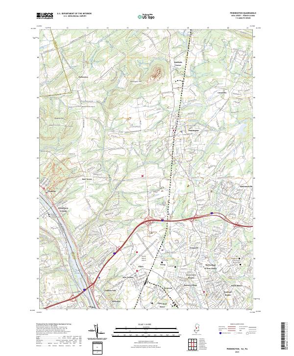
2023 Map of Pennington
USGS Topo · Published 2023About this map
Washington Crossing and the Delaware River define the western edge of this Mercer County landscape, where the Delaware and Raritan Canal follows the riverbank toward Yardley. This modern survey illustrates the suburban character and academic footprint of the region, anchored by the campus of The College of New Jersey and the sprawling infrastructure of the Trenton Mercer Airport. To the north, the terrain rises toward Pennington Mtn and Baldpate Mtn, overlooking a network of colonial-era crossroads settlements such as Harbourton, Marshalls Corner, and Bear Tavern. The map carefully details local genealogy sites, including Ewing Church Cem, United Methodist Cem, and State Cem, alongside the residential developments of Green Curve Heights and Braeburn Heights. Large water bodies like Curlis Lake and the various branches of Stony Brook intersect the landscape, connecting the boroughs to the rural ridges.
Find a feature on this map
73 named features on this map. Tap any name to fly to it.
Don’t see what you’re looking for? This feature index may not catch every label — zoom into the map to look around manually.
Map Details
Editions of this 2023 Pennington Map
This is the sole edition of this map. No revisions or reprints were ever made.
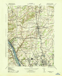
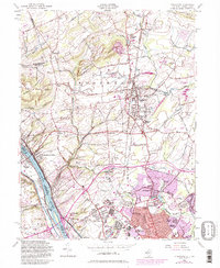
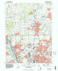
Historical Maps of Pennington Through Time
4 maps found
Featured Locations
- Ewing Township, NJ
- Hopewell Township, NJ
- Lawrence Township, NJ
- Lower Makefield Township, PA
- Upper Makefield Township, PA