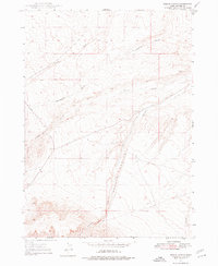
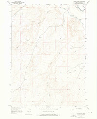
1947 Map of Perjue Canyon
USGS Topo · Published 1977About this map
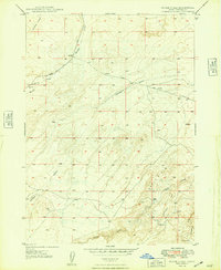
Perjue Canyon and the high desert terrain of Owyhee County are defined by a complex network of seasonal drainages and early transit corridors in this mid-century topographic record. The landscape is carved by deep watercourses such as Shoofly Creek, Twentymile Gulch, and Vinson Wash, illustrating the hydrologic patterns of southwestern Idaho before major modern development. The map details essential travel routes through this arid environment, specifically the Mud Flat Road and Poison Creek Road. These paths historically provided access to remote range lands and connections between distant settlements. Small landmarks like Halfway Gulch and Castle Creek serve as critical navigational points for those traversing the high plateaus and canyons of the Owyhee front.
Find a feature on this map
9 named features on this map. Tap any name to fly to it.
Don’t see what you’re looking for? This feature index may not catch every label — zoom into the map to look around manually.
Map Details
Editions of this 1947 Perjue Canyon Map
This is the sole edition of this map. No revisions or reprints were ever made.
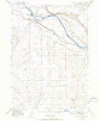
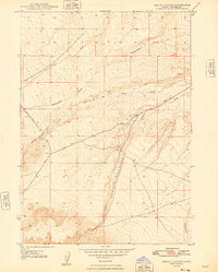
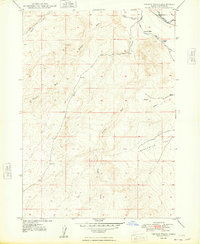
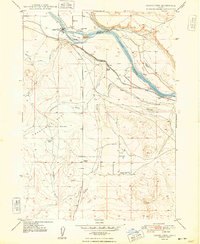
Other maps of this area
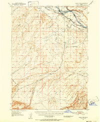
1947 · Grand View
USGS Topo · 1:62,500
1947 · Grand View
USGS Topo · 1:24,000
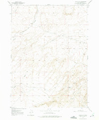
1947 · Chalk Hills
USGS Topo · 1:24,000
1947 · Vinson Wash
USGS Topo · 1:24,000
1948 · Perjue Canyon
USGS Topo · 1:24,000
1948 · Vinson Wash
USGS Topo · 1:24,000
1948 · Grand View
USGS Topo · 1:24,000
1948 · Chalk Hills
USGS Topo · 1:24,000

1955 · Jordan Valley
USGS Topo · 1:250,000

1957 · Jordan Valley
USGS Topo · 1:250,000