
1947 Map of Grand View
USGS Topo · Published 1966About this map
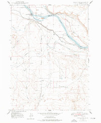
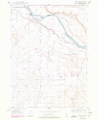
Snake River serves as the dominant lifeline for this high desert landscape, carving a deep valley that forms the boundary between Elmore and Owyhee counties. In the post-war era, the settlement of Grand View anchors a complex network of irrigation that transforms the arid canyon floor into productive ranch land. Extensive water management systems, including the Low Line Canal, Middle Line Canal, and Mutual Irrigation Canal, represent a significant investment in agricultural engineering.
Find a feature on this map
24 named features on this map. Tap any name to fly to it.
Don’t see what you’re looking for? This feature index may not catch every label — zoom into the map to look around manually.
Map Details
Editions of this 1947 Grand View Map
3 editions found
Other maps of this area

1892 · Mountain Home
USGS Topo · 1:125,000

1892 · Bisuka
USGS Topo · 1:125,000

1893 · Mountain Home
USGS Topo · 1:125,000

1894 · Bisuka
USGS Topo · 1:125,000

1946 · Mouth of Bruneau
USGS Topo · 1:24,000

1947 · Little Valley
USGS Topo · 1:24,000

1947 · Grand View
USGS Topo · 1:62,500

1947 · Bruneau
USGS Topo · 1:62,500

1947 · Jackass Butte
USGS Topo · 1:24,000

1947 · Chalk Hills
USGS Topo · 1:24,000