
1894 Map of Bisuka
USGS Topo · Published 1894About this map
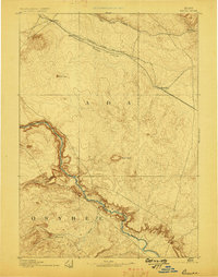
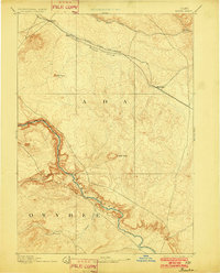
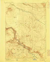
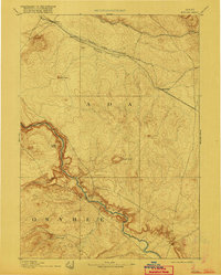
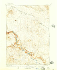
Initial Point, the primary survey reference for the public land system in Idaho, stands as a central landmark in this late 19th-century reconnaissance. North of this geographic anchor, the Oregon Short Line Railroad cuts across the sagebrush plains, connecting the small siding of Kuna to Bisuka and Blacks. The rail line parallels Indian Creek, tracing a path of infrastructure that facilitated early settlement in Ada County. To the south, the landscape drops sharply into the canyon of the Snake River, which serves as the boundary with Owyhee County. This riparian corridor is marked by the volcanic geology of Basalt Butte and Castle Buttes, providing a stark contrast to the high desert above. For those researching the early cattle ranching era, the map identifies isolated outposts such as Oreana and water sources like Sinker Creek and Castle Creek that were vital to the high-desert economy of the 1890s.
Find a feature on this map
16 named features on this map. Tap any name to fly to it.
Don’t see what you’re looking for? This feature index may not catch every label — zoom into the map to look around manually.
Map Details
Editions of this 1894 Bisuka Map
6 editions found
Other maps of this area

1892 · Mountain Home
USGS Topo · 1:125,000

1892 · Boise
USGS Topo · 1:125,000

1892 · Bisuka
USGS Topo · 1:125,000

1892 · Silver City
USGS Topo · 1:125,000

1893 · Mountain Home
USGS Topo · 1:125,000

1894 · Silver City
USGS Topo · 1:125,000

1894 · Idaho Basin
USGS Topo · 1:125,000

1897 · Boise
USGS Topo · 1:125,000

1898 · Nampa
USGS Topo · 1:125,000

1898 · Silver City
USGS Topo · 1:125,000