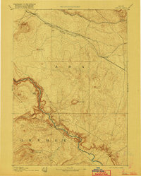
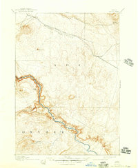
1894 Map of Bisuka
USGS Topo · Published 1916About this map
Initial Point serves as the surveying anchor for this high desert landscape, marking the intersection of the principal meridian and base line for Idaho's land system. Geographer A.H. Thompson and topographer W.T.Griswold recorded the terrain as it stood in the early 1890s, dominated by the deep canyon of the Snake River carving between Ada and Owyhee counties. The Oregon Short Line Railroad provides the primary infrastructure corridor in the north, connecting small settlements like Kuna, Mora, and Bisuka.
Find a feature on this map
18 named features on this map. Tap any name to fly to it.
Don’t see what you’re looking for? This feature index may not catch every label — zoom into the map to look around manually.
Map Details
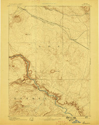
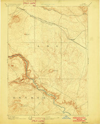
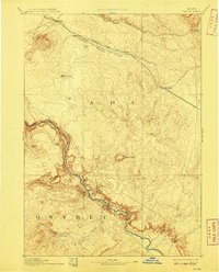
Editions of this 1894 Bisuka Map
6 editions found
Other maps of this area

1892 · Mountain Home
USGS Topo · 1:125,000

1892 · Boise
USGS Topo · 1:125,000

1892 · Bisuka
USGS Topo · 1:125,000

1892 · Silver City
USGS Topo · 1:125,000

1893 · Mountain Home
USGS Topo · 1:125,000

1894 · Bisuka
USGS Topo · 1:125,000

1894 · Silver City
USGS Topo · 1:125,000

1894 · Idaho Basin
USGS Topo · 1:125,000

1897 · Boise
USGS Topo · 1:125,000

1898 · Nampa
USGS Topo · 1:125,000