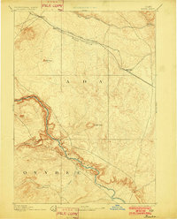
1894 Map of Bisuka
USGS Topo · Published 1902About this map
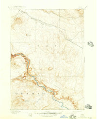
Initial Point stands as the primary geographic landmark in this late nineteenth-century survey, marking the intersection of the Boise Meridian and Base Line for all land surveys in the region. The high desert plains between the Snake River and the northern foothills are dominated by the path of the Oregon Short Line Railroad, which facilitated the growth of early whistle-stops and siding settlements. Along this vital rail corridor, the map records the early footprints of Kuna, Mora, and Bisuka, while the southern reaches across the deep canyon of the Snake River show the isolated outpost of Oreana near Castle Creek. This topography reflects the era's reliance on both the volcanic landscape, evidenced by Basalt Butte, and the strategic placement of rail infrastructure to overcome the arid distance between the river and the growing population centers to the north.
Find a feature on this map
16 named features on this map. Tap any name to fly to it.
Don’t see what you’re looking for? This feature index may not catch every label — zoom into the map to look around manually.
Map Details
Editions of this 1894 Bisuka Map
6 editions found
Other maps of this area

1892 · Mountain Home
USGS Topo · 1:125,000

1892 · Boise
USGS Topo · 1:125,000

1892 · Bisuka
USGS Topo · 1:125,000

1892 · Silver City
USGS Topo · 1:125,000

1893 · Mountain Home
USGS Topo · 1:125,000

1894 · Bisuka
USGS Topo · 1:125,000

1894 · Silver City
USGS Topo · 1:125,000

1894 · Idaho Basin
USGS Topo · 1:125,000

1897 · Boise
USGS Topo · 1:125,000

1898 · Nampa
USGS Topo · 1:125,000