
1893 Map of Mountain Home
USGS Topo · Published 1893About this map
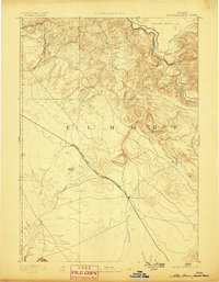
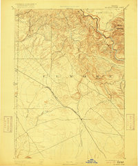
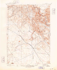
Mountain Home serves as the primary hub of activity in this 1889 survey of Elmore County, situated where the high desert plains meet the rising foothills. The town’s development is tied directly to the Oregon Short Line Union Pacific Railroad, which cuts diagonally across the landscape toward the small siding at Cleft. The terrain transitions from the open flats of the Snake River Plain into a complex network of canyons and plateaus to the north, including the high grazing lands of Smith Prairie and the edge of the Camas Prairie.
Find a feature on this map
22 named features on this map. Tap any name to fly to it.
Don’t see what you’re looking for? This feature index may not catch every label — zoom into the map to look around manually.
Map Details
Editions of this 1893 Mountain Home Map
4 editions found
Other maps of this area

1892 · Mountain Home
USGS Topo · 1:125,000

1892 · Boise
USGS Topo · 1:125,000

1892 · Bisuka
USGS Topo · 1:125,000

1892 · Camas Prairie
USGS Topo · 1:125,000

1893 · Camas Prairie
USGS Topo · 1:125,000

1894 · Bisuka
USGS Topo · 1:125,000

1894 · Idaho Basin
USGS Topo · 1:125,000

1894 · Rocky Bar
USGS Topo · 1:125,000

1897 · Boise
USGS Topo · 1:125,000

1946 · Mouth of Bruneau
USGS Topo · 1:24,000