
1892 Map of Camas Prairie
USGS Topo · Published 1892About this map
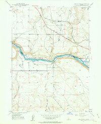
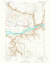
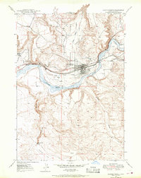
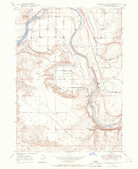
Pine Grove stands as a focal point in this 1889 survey of Elmore County, situated at a transition between the deep canyons of the Boise River and the high plateaus to the south. The landscape is defined by its series of distinct tablelands, including the wide Camas Prairie and the neighboring Little Camas Prairie and High Prairie. These plains are carved by a network of drainage systems, most notably the Malad River and the deeply incised King Hill Creek, which flow toward the southern boundary along the Snake River. This reconnaissance map reflects the early territorial mapping of Idaho just before statehood, revealing an era when travel through this region relied on finding natural passages between the steep grades of Little Cañon Creek and the springs found at Cold Spring Creek.
Find a feature on this map
18 named features on this map. Tap any name to fly to it.
Don’t see what you’re looking for? This feature index may not catch every label — zoom into the map to look around manually.
Map Details
Editions of this 1892 Camas Prairie Map
This is the sole edition of this map. No revisions or reprints were ever made.
Other maps of this area

1892 · Mountain Home
USGS Topo · 1:125,000

1893 · Mountain Home
USGS Topo · 1:125,000

1893 · Camas Prairie
USGS Topo · 1:125,000

1894 · Idaho Basin
USGS Topo · 1:125,000

1894 · Rocky Bar
USGS Topo · 1:125,000

1900 · Sawtooth
USGS Topo · 1:125,000
1947 · Indian Cove
USGS Topo · 1:24,000
1947 · Hammett
USGS Topo · 1:24,000
1947 · Glenns Ferry
USGS Topo · 1:24,000
1947 · Pasadena Valley
USGS Topo · 1:24,000