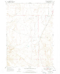
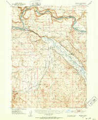
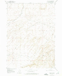
1947 Map of Little Valley
USGS Topo · Published 1948About this map
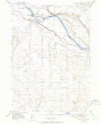
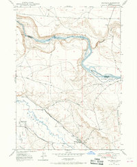
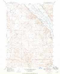
Little Valley in Owyhee County appears here in the late 1940s, defined by the essential infrastructure of desert ranching and water management. The map illustrates a high-desert landscape dependent on groundwater, featuring numerous Artesian Wells and the Benham Canal which directs flow through the arid terrain. Arid drainage patterns are carved by Halfway Gulch and the converging forks of Big Jacks Creek, Little Jacks Creek, and Jacks Creek.
Find a feature on this map
19 named features on this map. Tap any name to fly to it.
Don’t see what you’re looking for? This feature index may not catch every label — zoom into the map to look around manually.
Map Details
Editions of this 1947 Little Valley Map
2 editions found
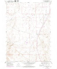
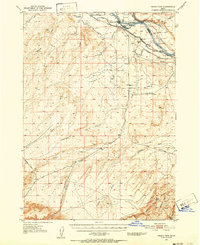
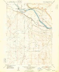
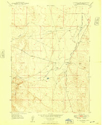
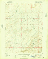
Other maps of this area
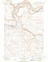
1946 · Mouth of Bruneau
USGS Topo · 1:24,000
1947 · Grand View
USGS Topo · 1:62,500
1947 · Bruneau
USGS Topo · 1:62,500
1947 · Grand View
USGS Topo · 1:24,000
1947 · Bruneau
USGS Topo · 1:24,000
1947 · Sugar Valley
USGS Topo · 1:24,000
1947 · Chalk Hills
USGS Topo · 1:24,000
1948 · Grand View
USGS Topo · 1:24,000
1948 · Little Valley
USGS Topo · 1:24,000
1948 · Chalk Hills
USGS Topo · 1:24,000