
1947 Map of Bruneau
USGS Topo · Published 1968About this map
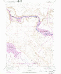
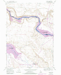
The Emigrant Trail carves a path through the high desert floor south of the Snake River canyon, marking a historic route through the Bruneau Valley as it appeared in the late 1940s. Irrigation infrastructure is central to the landscape, with the Buckaroo Ditch and South Side Canal diverting water to support the small community of Bruneau. The map captures a transition in local use, noting that the Little Valley Sch (Aban'd) and a local Race Track (Aban'd) had already fallen out of service by this time. Along the water, the geography is defined by significant landmarks like Crane Falls and several large river islands, including Edgington Island and Loveridge Island. This survey provides a look at the intersection of early pioneer trails and the mid-century agricultural development of Owyhee County.
Find a feature on this map
26 named features on this map. Tap any name to fly to it.
Don’t see what you’re looking for? This feature index may not catch every label — zoom into the map to look around manually.
Map Details
Editions of this 1947 Bruneau Map
3 editions found
Other maps of this area

1892 · Mountain Home
USGS Topo · 1:125,000

1893 · Mountain Home
USGS Topo · 1:125,000

1946 · Mouth of Bruneau
USGS Topo · 1:24,000

1947 · Little Valley
USGS Topo · 1:24,000

1947 · Bruneau
USGS Topo · 1:62,500

1947 · Sand Dunes
USGS Topo · 1:24,000

1947 · Sugar Valley
USGS Topo · 1:24,000

1947 · Hot Spring
USGS Topo · 1:24,000

1948 · Sand Dunes
USGS Topo · 1:24,000
1948 · Little Valley
USGS Topo · 1:24,000