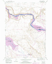
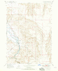
1947 Map of Bruneau
USGS Topo · Published 1984About this map
Bruneau River flows northward through this high desert landscape, meeting the Snake River at the massive C J Strike Reservoir. The geography here is a study in western water management, featuring a dense network of irrigation infrastructure such as the Buckaroo Ditch, Little Valley Canal, and various wells and ponds supporting agriculture in the Bruneau Valley.
Find a feature on this map
24 named features on this map. Tap any name to fly to it.
Don’t see what you’re looking for? This feature index may not catch every label — zoom into the map to look around manually.
Map Details
Editions of this 1947 Bruneau Map
3 editions found
Other maps of this area

1892 · Mountain Home
USGS Topo · 1:125,000

1893 · Mountain Home
USGS Topo · 1:125,000
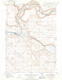
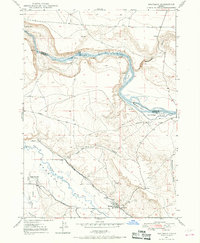
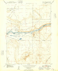
1946 · Mouth of Bruneau
USGS Topo · 1:24,000
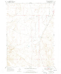
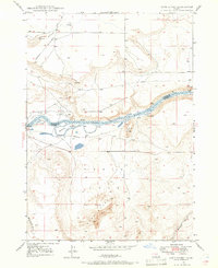
1947 · Little Valley
USGS Topo · 1:24,000
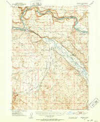
1947 · Bruneau
USGS Topo · 1:62,500
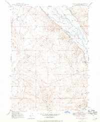
1947 · Sand Dunes
USGS Topo · 1:24,000
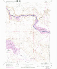
1947 · Bruneau
USGS Topo · 1:24,000
1947 · Sugar Valley
USGS Topo · 1:24,000
1947 · Hot Spring
USGS Topo · 1:24,000
1948 · Sand Dunes
USGS Topo · 1:24,000