
1947 Map of Sand Dunes
USGS Topo · Published 1966About this map
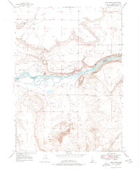
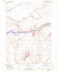
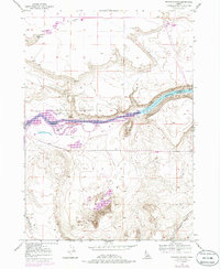
The Snake River carves through the landscape of the high desert, defining the boundary between Elmore and Owyhee counties. This 1946–1947 topographical record highlights a transitional terrain where the shifting Sand Dunes meet the river's edge, creating unique landforms like Wilkins Island and Blacks I. The map reveals the persistence of early western transit, with the Emigrant Trail following the south bank of the river while the Old Mountain Home Trail cuts across the northern flats near Rattlesnake Sprs. Evidence of human habitation remains sparse, marked by the solitary Barber Cabin tucked near the water and prominent navigational landmarks such as Flatiron Butte. Deep coulees like Waterhouse Gulch and Browns Gulch score the southern plateaus, documenting the drainage patterns of the Eagle Cove region.
Find a feature on this map
15 named features on this map. Tap any name to fly to it.
Don’t see what you’re looking for? This feature index may not catch every label — zoom into the map to look around manually.
Map Details
Editions of this 1947 Sand Dunes Map
4 editions found
Other maps of this area

1892 · Mountain Home
USGS Topo · 1:125,000

1893 · Mountain Home
USGS Topo · 1:125,000

1947 · Bruneau
USGS Topo · 1:62,500

1947 · Indian Cove
USGS Topo · 1:24,000

1947 · Bruneau
USGS Topo · 1:24,000

1947 · Sugar Valley
USGS Topo · 1:24,000

1947 · Hot Spring
USGS Topo · 1:24,000

1948 · Sand Dunes
USGS Topo · 1:24,000

1948 · Indian Cove
USGS Topo · 1:24,000

1948 · Sugar Valley
USGS Topo · 1:24,000