2024 Map of Perkins
USGS Topo · Published 2024About this map
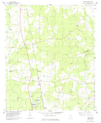
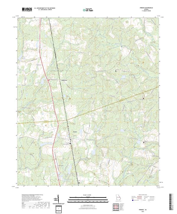
Perkins and Munnerlyn serve as the primary hubs in this rural landscape spanning the border of Burke Co and Jenkins Co. The area is defined by its deep genealogical roots, evidenced by several family and community burial grounds including Habersham Cem, Cullen Cem, and the Magnolia Baptist Church Cem. A significant portion of the southern terrain is dedicated to the Bo Ginn National Fish Hatchery and Aquarium, which utilizes the local hydrology of Magnolia Spring. The map documents a network of water features such as Brinson Millpond and Little Buckhead Creek, alongside infrastructure like the Millen Airport. The layout of roads such as Munnerlyn-Alexander Rd and Co Rd 121 illustrates the connection between these small agricultural settlements and the surrounding countryside.
Find a feature on this map
73 named features on this map. Tap any name to fly to it.
Don’t see what you’re looking for? This feature index may not catch every label — zoom into the map to look around manually.
Map Details
Editions of this 2024 Perkins Map
This is the sole edition of this map. No revisions or reprints were ever made.