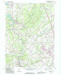
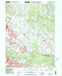
1992 Map of Perkiomenville
USGS Topo · Published 1995About this map
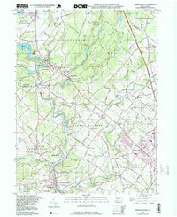
Perkiomen Creek and its tributaries carve a winding path through this corner of Montgomery County, shaping the location of early settlements like Perkiomenville and Schwenksville. The landscape is defined by its deep religious and civic roots, evidenced by historic structures such as the Old Goshenhoppen Ch and the Eastern Bible Institute. The map captures a mix of residential growth and preserved spaces, including the expansive Green Lane Reservoir and Pennypacker Mills County Park.
Find a feature on this map
102 named features on this map. Tap any name to fly to it.
Don’t see what you’re looking for? This feature index may not catch every label — zoom into the map to look around manually.
Map Details
Editions of this 1992 Perkiomenville Map
This is the sole edition of this map. No revisions or reprints were ever made.
Historical Maps of Limerick Township Through Time
22 maps found

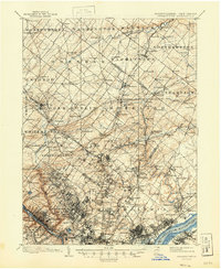
1893 Germantown
Montgomery County, PA

1894 Germantown
Montgomery County, PA

1896 Germantown
Montgomery County, PA
1899 Germantown
Montgomery County, PA
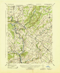
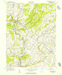
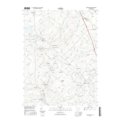
1943 Perkiomenville
Montgomery County, PA
1943 Sassamansville
Montgomery County, PA
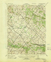
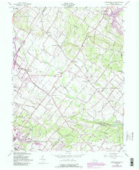
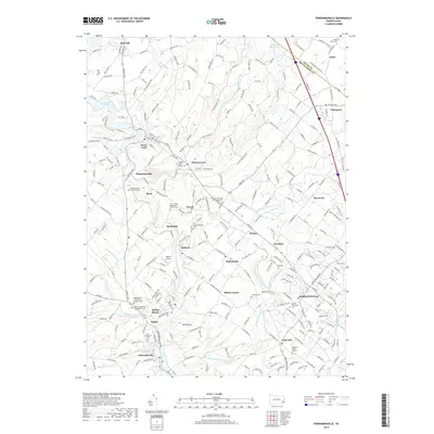
1953 Perkiomenville
Montgomery County, PA
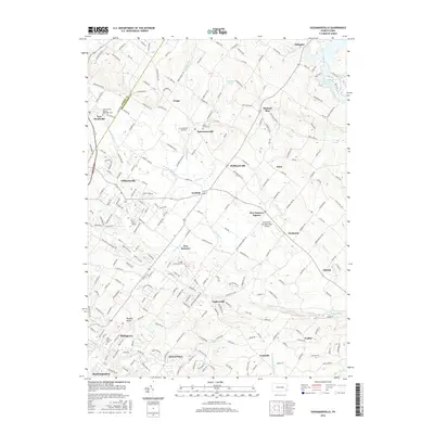
1957 Sassamansville
Montgomery County, PA
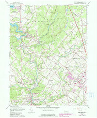
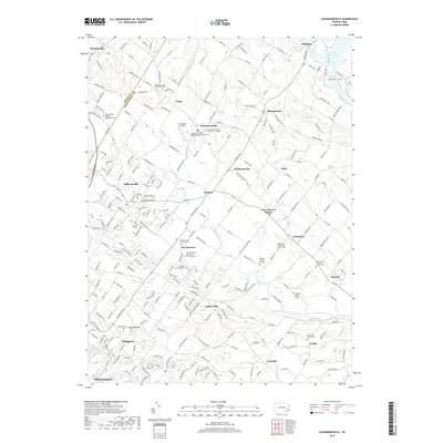
1960 Perkiomenville
Montgomery County, PA
1992 Perkiomenville
Montgomery County, PA
1997 Perkiomenville
Montgomery County, PA
1999 Sassamansville
Montgomery County, PA
2010 Perkiomenville
Montgomery County, PA

2010 Sassamansville
Montgomery County, PA
2013 Perkiomenville
Montgomery County, PA
2013 Sassamansville
Montgomery County, PA
2016 Perkiomenville
Montgomery County, PA
2016 Sassamansville
Montgomery County, PA
2019 Perkiomenville
Montgomery County, PA
2019 Sassamansville
Montgomery County, PA
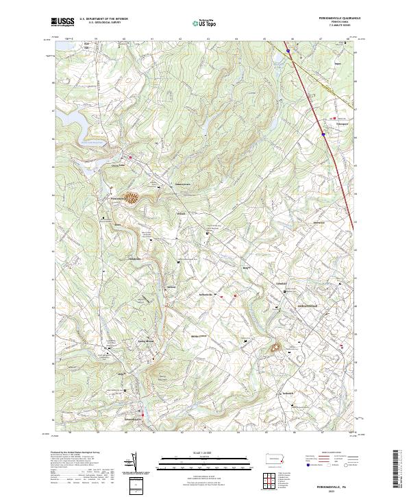
2023 Perkiomenville
Montgomery County, PA
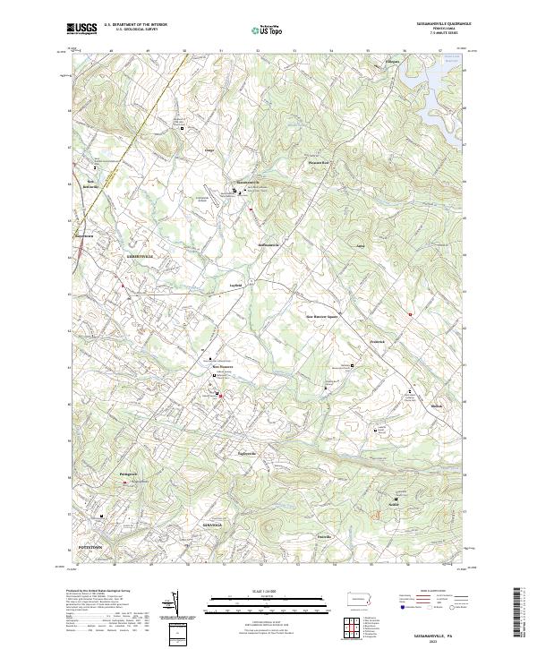
2023 Sassamansville
Montgomery County, PA
Featured Locations
- Franconia Township, PA
- New Hanover Township, PA
- Skippack Township, PA
- Limerick Township, PA
- Harleysville, Lower Salford Township