
1906 Map of Phoenixville
USGS Topo · Published 1906About this map
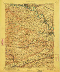
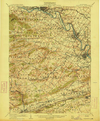
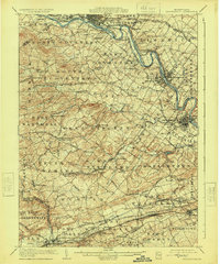
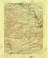
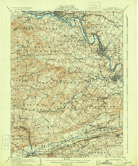
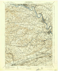
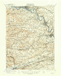
The Schuylkill River carves a winding path through the heart of this landscape, serving as a vital industrial artery at the start of the twentieth century. Industrial centers like Phoenixville and Pottstown anchor the riverbanks, where the dense rail network of the Philadelphia and Reading RR and the Pennsylvania RR intersects with established trade towns. Moving away from the river, the terrain shifts into the rolling rural character of Chester County, defined by small settlements and family-named landmarks. The map documents numerous crossroads communities such as Seven Stars, Birchrunville, and Pughtown, many of which were centers of local commerce and social life. Traces of early regional history are evident in the inclusion of the Paoli Monument and several historic turnpikes, alongside natural features like French Creek and Pickering Creek that historically powered local mills.
Find a feature on this map
148 named features on this map. Tap any name to fly to it.
Don’t see what you’re looking for? This feature index may not catch every label — zoom into the map to look around manually.
Map Details
Editions of this 1906 Phoenixville Map
8 editions found
Other maps of this area

1888 · Quakertown
USGS Topo · 1:62,500

1890 · Quakertown
USGS Topo · 1:62,500

1894 · Reading
USGS Topo · 1:62,500

1894 · Quakertown
USGS Topo · 1:62,500

1894 · Chester
USGS Topo · 1:62,500

1894 · Norristown
USGS Topo · 1:62,500

1895 · Norristown
USGS Topo · 1:62,500

1896 · Norristown
USGS Topo · 1:62,500

1896 · Chester
USGS Topo · 1:62,500

1898 · Chester
USGS Topo · 1:62,500