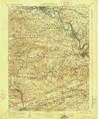
1906 Map of Phoenixville
USGS Topo · Published 1928About this map
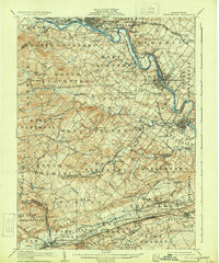
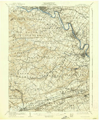
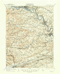
The Schuylkill River corridor dominates this 1906 survey of eastern Chester County, revealing a landscape defined by its industrial waterways and a dense network of competing railroads. The Schuylkill Canal remains visible alongside the river, winding past historic waypoints like Fricks Lock and through the major manufacturing hubs of Phoenixville, Spring City, and Royersford. The topography transitions from the winding valleys of French Creek and Pigeon Creek in the north to the distinctive ridge of the Valley Hills in the south.
Find a feature on this map
138 named features on this map. Tap any name to fly to it.
Don’t see what you’re looking for? This feature index may not catch every label — zoom into the map to look around manually.
Map Details
Editions of this 1906 Phoenixville Map
8 editions found

Other maps of this area

1888 · Quakertown
USGS Topo · 1:62,500

1890 · Quakertown
USGS Topo · 1:62,500

1894 · Reading
USGS Topo · 1:62,500

1894 · Quakertown
USGS Topo · 1:62,500

1894 · Chester
USGS Topo · 1:62,500

1894 · Norristown
USGS Topo · 1:62,500

1895 · Norristown
USGS Topo · 1:62,500

1896 · Norristown
USGS Topo · 1:62,500

1896 · Chester
USGS Topo · 1:62,500

1898 · Chester
USGS Topo · 1:62,500