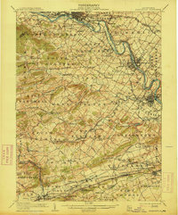
1906 Map of Phoenixville
USGS Topo · Published 1914About this map
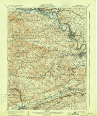
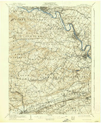
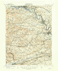
The Schuylkill River and the adjacent Schuylkill Canal dominate the eastern corridor of this Chester County landscape, serving as the primary arteries for industry and transport at the start of the twentieth century. The manufacturing hub of Phoenixville anchors the river bend, while a dense network of competing rail lines, including the Philadelphia and Reading Railway and the Pennsylvania Railroad, crisscross the townships. This infrastructure connects numerous small settlements such as Saint Peters, Spring City, and Linfield.
Find a feature on this map
152 named features on this map. Tap any name to fly to it.
Don’t see what you’re looking for? This feature index may not catch every label — zoom into the map to look around manually.
Map Details
Editions of this 1906 Phoenixville Map
8 editions found

Other maps of this area

1888 · Quakertown
USGS Topo · 1:62,500

1890 · Quakertown
USGS Topo · 1:62,500

1894 · Reading
USGS Topo · 1:62,500

1894 · Quakertown
USGS Topo · 1:62,500

1894 · Chester
USGS Topo · 1:62,500

1894 · Norristown
USGS Topo · 1:62,500

1895 · Norristown
USGS Topo · 1:62,500

1896 · Norristown
USGS Topo · 1:62,500

1896 · Chester
USGS Topo · 1:62,500

1898 · Chester
USGS Topo · 1:62,500