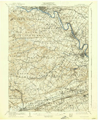
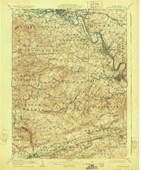
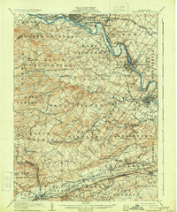
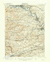
1906 Map of Phoenixville
USGS Topo · Published 1938About this map
The Schuylkill River corridor serves as the industrial and transportation backbone of this Chester County landscape, where the Schuylkill Canal and the Philadelphia and Reading Railway run in parallel. Established manufacturing centers like Phoenixville and Royersford are shown in detail, showing the density of late 19th-century urban growth along the riverbanks. Away from the water, the terrain transitions into a patchwork of rural townships including North Coventry and East Vincent, connected by an intricate network of early roads such as the Reading Valley Turnpike and the Coventryville Road.
Find a feature on this map
141 named features on this map. Tap any name to fly to it.
Don’t see what you’re looking for? This feature index may not catch every label — zoom into the map to look around manually.
Map Details
Editions of this 1906 Phoenixville Map
8 editions found

Other maps of this area

1888 · Quakertown
USGS Topo · 1:62,500

1890 · Quakertown
USGS Topo · 1:62,500

1894 · Reading
USGS Topo · 1:62,500

1894 · Quakertown
USGS Topo · 1:62,500

1894 · Chester
USGS Topo · 1:62,500

1894 · Norristown
USGS Topo · 1:62,500

1895 · Norristown
USGS Topo · 1:62,500

1896 · Norristown
USGS Topo · 1:62,500

1896 · Chester
USGS Topo · 1:62,500

1898 · Chester
USGS Topo · 1:62,500