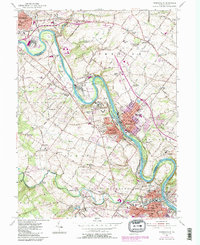
1955 Map of Phoenixville
USGS Topo · Published 1984About this map
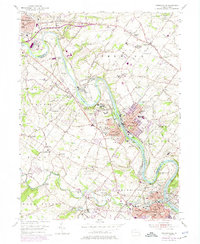
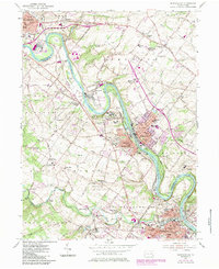
The Schuylkill River meanders through a landscape defined by industrial development and institutional history at mid-century. Dominating a significant bend in the river is the Pennhurst State School, while nearby industrial landmarks such as the cooling towers near Cromby and the waterworks illustrate the region's infrastructure. Transportation history is deeply embedded here, with the Conrail line tracing the riverbanks and the presence of an Abandoned Canal south of Mont Clare. Local genealogy is well-represented through numerous historic sites, including the Revolutionary Soldiers Cem and family-named locations like Wilsons Corner and Slonaker. The transition from rural to suburban is evident in the sprawling townships of Limerick and East Pikeland, where old country schools like Ironsides Sch stand alongside emerging modern developments.
Find a feature on this map
100 named features on this map. Tap any name to fly to it.
Don’t see what you’re looking for? This feature index may not catch every label — zoom into the map to look around manually.
Map Details
Editions of this 1955 Phoenixville Map
6 editions found
Other maps of this area

1888 · Quakertown
USGS Topo · 1:62,500

1890 · Quakertown
USGS Topo · 1:62,500

1894 · Quakertown
USGS Topo · 1:62,500

1894 · Norristown
USGS Topo · 1:62,500

1895 · Norristown
USGS Topo · 1:62,500

1896 · Norristown
USGS Topo · 1:62,500

1902 · Boyertown
USGS Topo · 1:62,500

1906 · Phoenixville
USGS Topo · 1:62,500

1942 · Norristown
USGS Topo · 1:125,000
1943 · Norristown
USGS Topo · 1:62,500