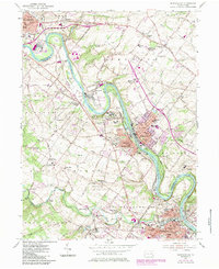
1955 Map of Phoenixville
USGS Topo · Published 1984About this map
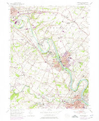
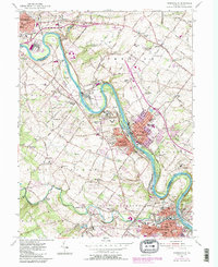
The Schuylkill River carves a winding path through the heart of this Montgomery and Chester County landscape, acting as a historical boundary and industrial artery. The river valley is punctuated by significant institutional and infrastructure landmarks, most notably the expansive grounds of the Pennhurst State School and the Pottstown Limerick Airport. Settlement patterns follow the river and rail corridors, with established centers at Linfield, Royersford, and Spring City showing the dense residential growth characteristic of the mid-20th century.
Find a feature on this map
94 named features on this map. Tap any name to fly to it.
Don’t see what you’re looking for? This feature index may not catch every label — zoom into the map to look around manually.
Map Details
Editions of this 1955 Phoenixville Map
6 editions found
Other maps of this area

1888 · Quakertown
USGS Topo · 1:62,500

1890 · Quakertown
USGS Topo · 1:62,500

1894 · Quakertown
USGS Topo · 1:62,500

1894 · Norristown
USGS Topo · 1:62,500

1895 · Norristown
USGS Topo · 1:62,500

1896 · Norristown
USGS Topo · 1:62,500

1902 · Boyertown
USGS Topo · 1:62,500

1906 · Phoenixville
USGS Topo · 1:62,500

1942 · Norristown
USGS Topo · 1:125,000
1943 · Norristown
USGS Topo · 1:62,500