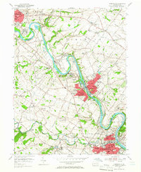
1955 Map of Phoenixville
USGS Topo · Published 1966About this map
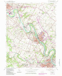
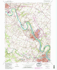
The Schuylkill River serves as the industrial and geographical spine of this mid-century Pennsylvania landscape, winding between the boroughs of Royersford and Spring City. This corridor is defined by heavy infrastructure, including the Reading railroad lines and several large impounding basins that supported local industry. To the south, the city of Phoenixville shows a dense residential and civic core, featuring the Mason St Sch and the Armory.
Find a feature on this map
97 named features on this map. Tap any name to fly to it.
Don’t see what you’re looking for? This feature index may not catch every label — zoom into the map to look around manually.
Map Details
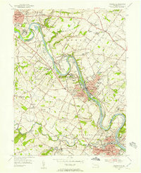
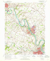
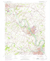
Editions of this 1955 Phoenixville Map
6 editions found
Other maps of this area

1888 · Quakertown
USGS Topo · 1:62,500

1890 · Quakertown
USGS Topo · 1:62,500

1894 · Quakertown
USGS Topo · 1:62,500

1894 · Norristown
USGS Topo · 1:62,500

1895 · Norristown
USGS Topo · 1:62,500

1896 · Norristown
USGS Topo · 1:62,500

1902 · Boyertown
USGS Topo · 1:62,500

1906 · Phoenixville
USGS Topo · 1:62,500

1942 · Norristown
USGS Topo · 1:125,000
1943 · Norristown
USGS Topo · 1:62,500