Loading...
Loading map...2023 Map of Perry
USGS Topo · Published 2023About this map
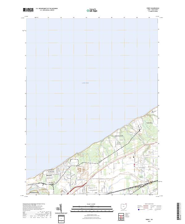
The northern coastline of Lake County meets Lake Erie in this detailed 2023 survey of the communities surrounding Perry. This area is characterized by its lakefront residential developments and the distinct transition from the shoreline to the elevated South Ridge. Significant local landmarks include Camp Roosevelt and the Blackacre Farm Airport, providing insight into the area's recreational and private aviation history.
Find a feature on this map
65 named features on this map. Tap any name to fly to it.
Don’t see what you’re looking for? This feature index may not catch every label — zoom into the map to look around manually.
Map Details
Date Portrayed2023
Date Published2023
PublisherU.S. Geological Survey
Map TypeTopographic
Scale1:24000
Physical Dimensions24 x 29 inches
Editions of this 2023 Perry Map
This is the sole edition of this map. No revisions or reprints were ever made.
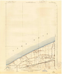
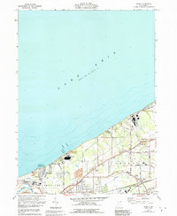
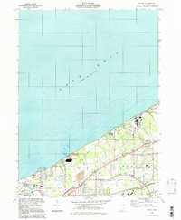
Historical Maps of Painesville Through Time
4 maps found
Featured Locations
Source Details
SourceU.S. Geological Survey
CopyrightPublic Domain