Loading...
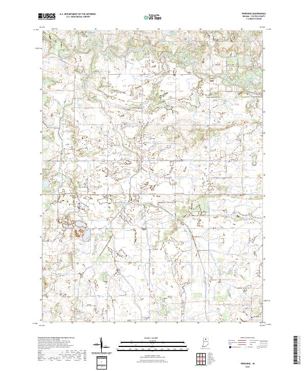
Loading map...2022 Map of Pershing
USGS Topo · Published 2022About this map
The Tippecanoe River carves a winding path across the northern reaches of this Fulton County landscape, where glacial geology and agricultural engineering define the terrain. While natural water bodies like Anderson Lake and Lears Lake remain, the rural character is largely shaped by an extensive network of drainage projects. Family and local names are preserved in the labels for these waterways, including the Kersey Finney Ditch, Mathias Ditch, and Robbins Walters Ditch.
Find a feature on this map
53 named features on this map. Tap any name to fly to it.
Don’t see what you’re looking for? This feature index may not catch every label — zoom into the map to look around manually.
Map Details
Date Portrayed2022
Date Published2022
PublisherU.S. Geological Survey
Map TypeTopographic
Scale1:24000
Physical Dimensions24 x 29 inches
Editions of this 2022 Pershing Map
This is the sole edition of this map. No revisions or reprints were ever made.
Historical Maps of Indiana Through Time
4 maps found
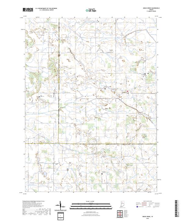
Featured Locations
Source Details
SourceU.S. Geological Survey
CopyrightPublic Domain