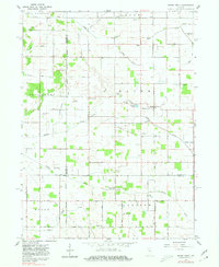
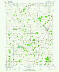
1960 Map of Grass Creek
USGS Topo · Published 1980About this map
Grass Creek serves as the central hub of this northern Indiana agricultural landscape, situated along the Pennsylvania Railroad corridor. The 1960 field-checked survey reveals a highly organized township structure dominated by an intricate network of drainage systems, including Mill Creek, Humes Ditch, and Costello Ditch, which support the surrounding farmland. Small rural congregations and historic burial grounds are scattered throughout the territory, such as Victor Chapel and Old Indian Creek Cem, providing specific points of interest for genealogists tracing local family histories.
Find a feature on this map
52 named features on this map. Tap any name to fly to it.
Don’t see what you’re looking for? This feature index may not catch every label — zoom into the map to look around manually.
Map Details
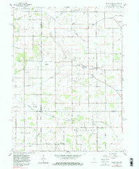
Editions of this 1960 Grass Creek Map
3 editions found
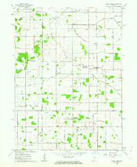
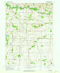
Other maps of this area

1953 · Chicago
USGS Topo · 1:250,000

1953 · Danville
USGS Topo · 1:250,000

1955 · Danville
USGS Topo · 1:250,000
1955 · Logansport
USGS Topo · 1:24,000

1956 · Danville
USGS Topo · 1:250,000

1957 · Chicago
USGS Topo · 1:250,000
1960 · Lucerne
USGS Topo · 1:24,000
1960 · Fulton
USGS Topo · 1:24,000
1960 · Grass Creek
USGS Topo · 1:24,000
1962 · Pershing
USGS Topo · 1:24,000