
1953 Map of Danville
USGS Topo · Published 1965About this map
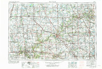
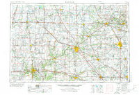
The Wabash River and Tippecanoe River serve as the primary hydrologic arteries for this region of Illinois and Indiana in the mid-1960s. Major urban centers like Lafayette, Danville, and Kokomo anchor a landscape defined by an extensive transportation grid. This network is dominated by long-standing rail lines such as the Nickel Plate, Pennsylvania, and the Wabash railroad, alongside then-modern developments like Interstate 74.
Find a feature on this map
335 named features on this map. Tap any name to fly to it.
Don’t see what you’re looking for? This feature index may not catch every label — zoom into the map to look around manually.
Map Details
Editions of this 1953 Danville Map
Other maps of this area

1899 · Danville
USGS Topo · 1:62,500

1900 · Danville
USGS Topo · 1:62,500

1906 · Urbana
USGS Topo · 1:62,500

1922 · Momence
USGS Topo · 1:62,500

1922 · Kankakee
USGS Topo · 1:62,500

1923 · Herscher
USGS Topo · 1:62,500

1924 · Momence
USGS Topo · 1:62,500

1924 · Kankakee
USGS Topo · 1:62,500

1924 · Paxton
USGS Topo · 1:62,500

1925 · Herscher
USGS Topo · 1:62,500