
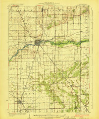
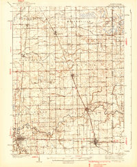
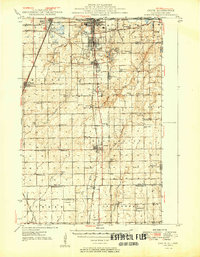
1924 Map of Momence
USGS Topo · Published 1924About this map
The Kankakee River winds through this 1920s landscape, serving as the central artery for a region defined by its dense network of rural schools and rail junctions. At the heart of the map, Momence sits at a critical crossing point where the Chicago and Eastern Illinois and New York Central railroads converge. This rail infrastructure supported a thriving agricultural economy, connecting small shipping points like Wichert and Grant Park to larger markets.
Find a feature on this map
71 named features on this map. Tap any name to fly to it.
Don’t see what you’re looking for? This feature index may not catch every label — zoom into the map to look around manually.
Map Details
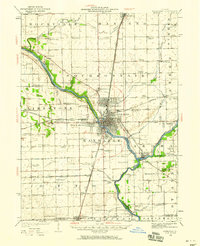
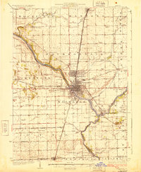
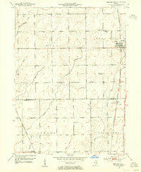
Editions of this 1924 Momence Map
2 editions found
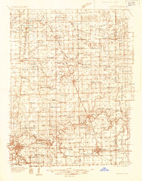
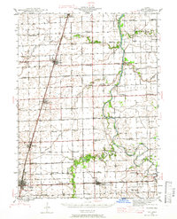
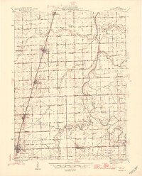
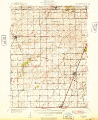
Other maps of this area

1922 · Momence
USGS Topo · 1:62,500
1922 · Kankakee
USGS Topo · 1:62,500
1924 · Kankakee
USGS Topo · 1:62,500
1935 · Watseka
USGS Topo · 1:48,000
1939 · Watseka
USGS Topo · 1:62,500
1944 · Gilman
USGS Topo · 1:62,500
1946 · Gilman
USGS Topo · 1:62,500
1949 · Peotone
USGS Topo · 1:62,500
1949 · Crete
USGS Topo · 1:62,500
1953 · Beecher West
USGS Topo · 1:24,000