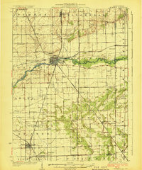
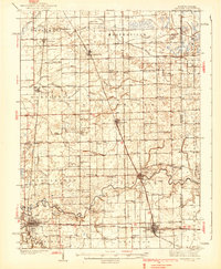
1924 Map of Momence
USGS Topo · Published 1924About this map
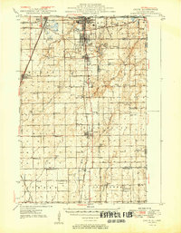
Momence stands at the heart of this survey, positioned where several major rail lines converge near the Kankakee River. The surrounding landscape is defined by a dense network of early 20th-century rural infrastructure, notably a significant concentration of country schools such as Illinoi School, Frogtown School, and Ostrander School. These one-room schoolhouses served the surrounding agricultural townships of Sumner, Yellowhead, and Ganeer.
Find a feature on this map
70 named features on this map. Tap any name to fly to it.
Don’t see what you’re looking for? This feature index may not catch every label — zoom into the map to look around manually.
Map Details
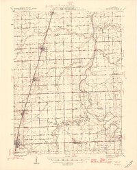
Editions of this 1924 Momence Map
2 editions found
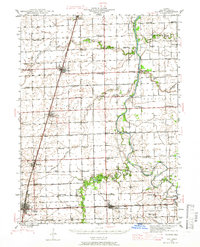
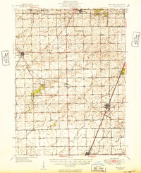
Other maps of this area

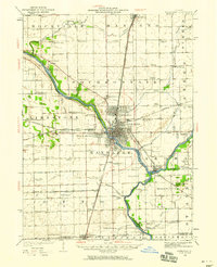
1922 · Momence
USGS Topo · 1:62,500
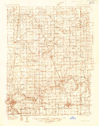
1922 · Kankakee
USGS Topo · 1:62,500

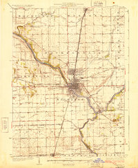
1924 · Momence
USGS Topo · 1:62,500
1924 · Kankakee
USGS Topo · 1:62,500
1935 · Watseka
USGS Topo · 1:48,000
1939 · Watseka
USGS Topo · 1:62,500
1944 · Gilman
USGS Topo · 1:62,500
1946 · Gilman
USGS Topo · 1:62,500
1949 · Peotone
USGS Topo · 1:62,500
1949 · Crete
USGS Topo · 1:62,500