
1953 Map of Beecher West
USGS Topo · Published 1955About this map
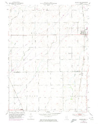
Beecher sits at the edge of this prairie landscape, where the Chicago and Eastern Illinois railroad parallels the main road north to south. The area is defined by its small farming communities and a network of early schools and churches that served the rural population of Washington and Sumner townships. While Beecher is the primary hub, the smaller stop at Sollitt and the crossing at Whitaker highlight the importance of rail transit in the early 1950s.
Find a feature on this map
21 named features on this map. Tap any name to fly to it.
Don’t see what you’re looking for? This feature index may not catch every label — zoom into the map to look around manually.
Map Details
Editions of this 1953 Beecher West Map
2 editions found
Other maps of this area

1922 · Momence
USGS Topo · 1:62,500

1922 · Kankakee
USGS Topo · 1:62,500

1924 · Momence
USGS Topo · 1:62,500

1924 · Kankakee
USGS Topo · 1:62,500

1929 · Dyer
USGS Topo · 1:24,000

1930 · Dyer
USGS Topo · 1:24,000

1930 · Frankfort
USGS Topo · 1:24,000

1930 · Steger
USGS Topo · 1:24,000

1949 · Peotone
USGS Topo · 1:62,500

1949 · Crete
USGS Topo · 1:62,500