Loading...
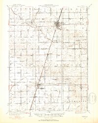
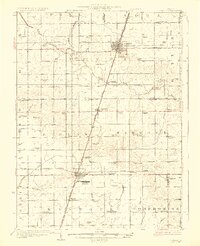
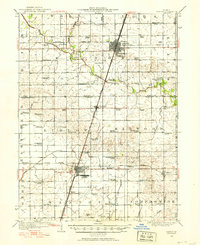
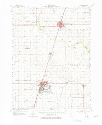
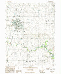
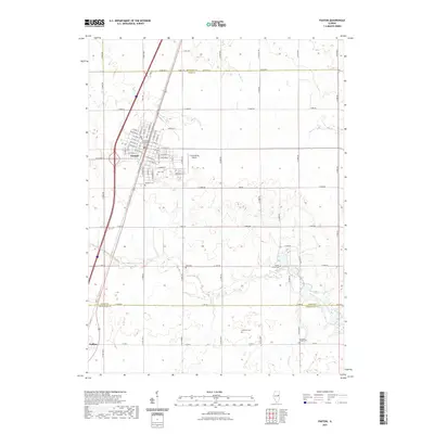
Loading map...1924 Map of Paxton
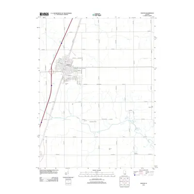
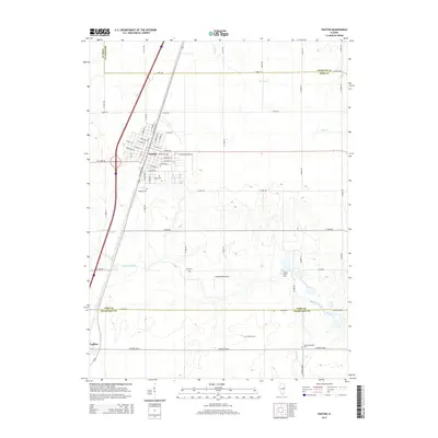
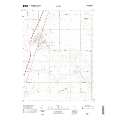
USGS Topo · Published 1953About this map
Paxton and Rantoul anchor this mid-1920s survey of the Illinois prairie, capturing a landscape defined by industrial rail lines and the early military aviation presence at Chanute Flying Field. The area is a dense grid of agricultural development, revealed by the extraordinary number of rural schoolhouses such as Trickel Grove School, Lily Dell School, and McMaster School that once served these townships.
Find a feature on this map
71 named features on this map. Tap any name to fly to it.
Don’t see what you’re looking for? This feature index may not catch every label — zoom into the map to look around manually.
Map Details
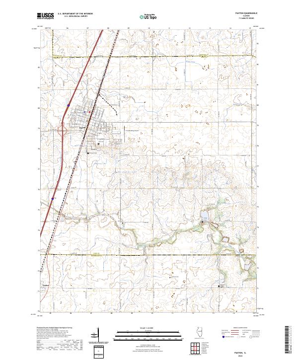
Date Portrayed1924
Date Published1953
PublisherU.S. Geological Survey
Map TypeTopographic
Scale1:62,500
Physical Dimensions16.76 x 20.89 inches
Editions of this 1924 Paxton Map
This is the sole edition of this map. No revisions or reprints were ever made.
Historical Maps of Rantoul Through Time
10 maps found
Featured Locations
Source Details
SourceU.S. Geological Survey
CopyrightPublic Domain