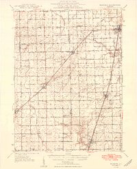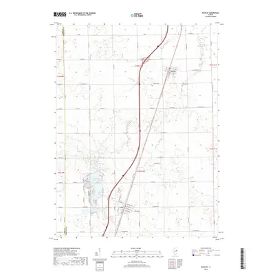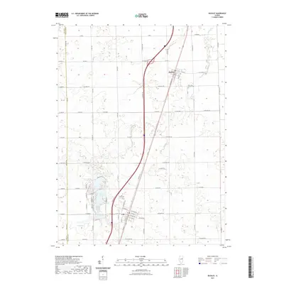
1948 Map of Buckley
USGS Topo · Published 1948About this map
The agricultural heartland of Ford and Iroquois Counties in the mid-1940s is defined by a dense network of country schoolhouses and small prairie settlements. Towns like Buckley, Onarga, and Loda serve as commercial anchors along the Illinois Central railroad, which bisects the landscape and dictates the development of the region's grain-handling economy. The terrain is marked by the drainage basins of the North Fork Vermilion River and Prairie Creek, where the land begins to rise toward distinctive features such as Meadow Mound. Genealogists will find particular value in the sheer volume of named local school districts, from Bishop Sch in the north to Holmes Sch in the south, alongside family landmarks like Brewton Cem near the Livingston County line.
Find a feature on this map
55 named features on this map. Tap any name to fly to it.
Don’t see what you’re looking for? This feature index may not catch every label — zoom into the map to look around manually.
Map Details
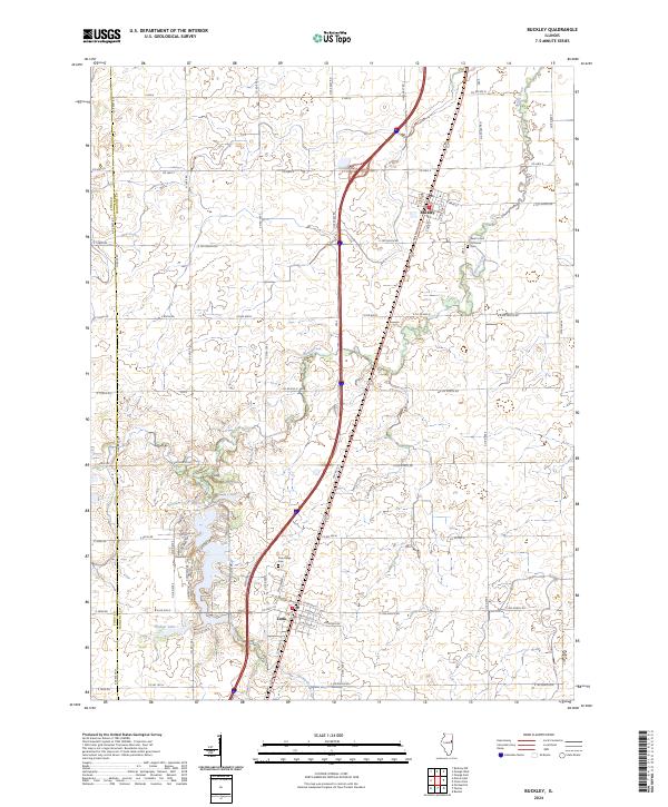
Editions of this 1948 Buckley Map
This is the sole edition of this map. No revisions or reprints were ever made.
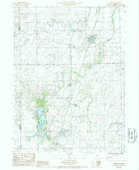
Historical Maps of Gilman Through Time
8 maps found