1986 Map of Buckley
USGS Topo · Published 1986About this map
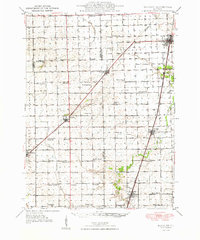
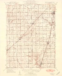
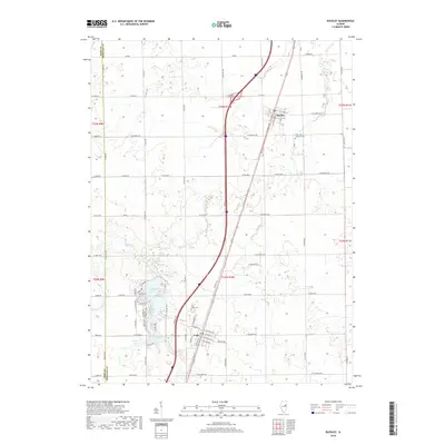
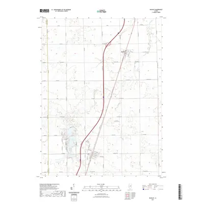
Buckley and Loda anchor this agricultural landscape in the mid-1980s, situated along the prominent north-south corridor of the Illinois Central Gulf railroad. The map illustrates a prairie environment deeply shaped by drainage and water management, featuring the meandering paths of Louis Creek and Spring Creek. A notable shift from the surrounding gridded farmland occurs in the southwest corner, where the residential and recreational developments surrounding Bayles Lake and Iroquois Lake create a distinct contrast to the rectilinear township boundaries of Artesia and Loda. These reservoirs represent significant mid-century local engineering, providing a focal point for leisure in a region otherwise dominated by large-scale grain production. The presence of Sewage Lagoons near the settlements further details the municipal infrastructure supporting these rural communities during this period of the late twentieth century.
Find a feature on this map
12 named features on this map. Tap any name to fly to it.
Don’t see what you’re looking for? This feature index may not catch every label — zoom into the map to look around manually.
Map Details
Editions of this 1986 Buckley Map
This is the sole edition of this map. No revisions or reprints were ever made.
Historical Maps of Buckley Through Time
8 maps found